


19 km | 33 km-effort


User


FREE GPS app for hiking
 SityTrail
IGN / Geographical institutes
SityTrail World
The world is yours!
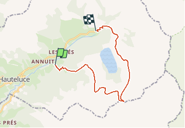
Trail Winter sports of 11.8 km to be discovered at Auvergne-Rhône-Alpes, Savoy, Hauteluce. This trail is proposed by papa-sanglier.
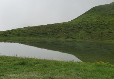
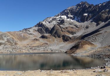
Randonnée en ski de rando, autour du lac de la Girotte. Avant les châlets de la Montaz, petit passage difficile d'une centaine de mètres sur route d'été. À la Commanderie, prendre plein sud vers le Plan de la Mouille, puis au NE pour attaquer la pente qui mène au Lac Noir. Continuer vers le Col de la Gittaz, revenir plein nord.
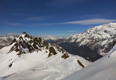
Touring skiing

Touring skiing
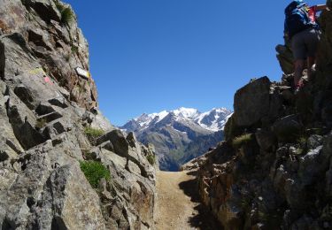
Walking

Walking

Walking
Mountain bike
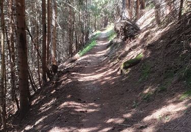
Walking
Walking
Walking