


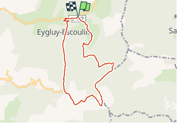


12.6 km | 26 km-effort


User


FREE GPS app for hiking
 SityTrail
IGN / Geographical institutes
SityTrail World
The world is yours!
Trail Walking of 8.5 km to be discovered at Auvergne-Rhône-Alpes, Drôme, Eygluy-Escoulin. This trail is proposed by bob2023.
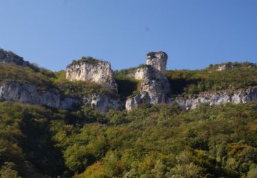
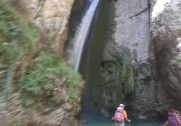
Randonnée à partir d’Escoulin vers le “petit” Taillefer (Drôme) , Jolis points de vue sur les 3 Becs, et le Glandasse, Bonne grimpette dès le début, et bien sur, belle descente qui va avec.
Attention la carte IGN n'est pas à jour. Suivre les marques jaunes et rouges


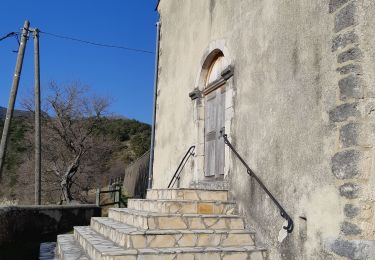
Walking
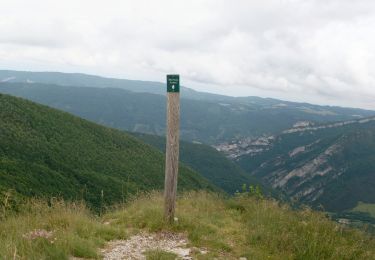
Walking
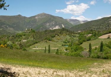
Walking
Walking

Walking
Walking
Walking
Walking
Walking