

mongrexsin-les-etangs

boularand
User

Length
10.6 km

Max alt
74 m

Uphill gradient
86 m

Km-Effort
11.7 km

Min alt
47 m

Downhill gradient
85 m
Boucle
Yes
Creation date :
2020-02-13 14:21:52.0
Updated on :
2020-02-16 16:45:42.621
2h35
Difficulty : Medium

FREE GPS app for hiking
About
Trail Walking of 10.6 km to be discovered at Hauts-de-France, Oise, Orry-la-Ville. This trail is proposed by boularand.
Description
Belle randonnée à travers bois. Petit bémol, il y a une partie réservée aux chevaux de course et donc interdites aux randonneurs/promeneurs.
Sinon fin de parcours le long de l'étang bien sympa.
Positioning
Country:
France
Region :
Hauts-de-France
Department/Province :
Oise
Municipality :
Orry-la-Ville
Location:
Unknown
Start:(Dec)
Start:(UTM)
465078 ; 5444730 (31U) N.
Comments
Trails nearby

Dans la forêt des moines - Orry-la-Ville


Walking
Medium
(2)
Orry-la-Ville,
Hauts-de-France,
Oise,
France

9.2 km | 11.2 km-effort
2h 30min
Yes
SM_COYE la FORET_7.9Km


Walking
Medium
(5)
Coye-la-Forêt,
Hauts-de-France,
Oise,
France

7.9 km | 10 km-effort
2h 40min
Yes
SM_MONTGRESIN_EST_8.2Km


Walking
Medium
(6)
Orry-la-Ville,
Hauts-de-France,
Oise,
France

8.2 km | 9.2 km-effort
1h 51min
Yes

MR_PONTARME-OUEST_4.9Km


Walking
Easy
(2)
Pontarmé,
Hauts-de-France,
Oise,
France

4.9 km | 5.5 km-effort
1h 12min
Yes
MR_THIERS-sur-THEVE_5.3Km


Walking
Medium
(4)
Thiers-sur-Thève,
Hauts-de-France,
Oise,
France

5.3 km | 6 km-effort
1h 22min
Yes
SM_THIERS-sur-THEVE_8.2Km


Walking
Medium
(4)
Thiers-sur-Thève,
Hauts-de-France,
Oise,
France

8.3 km | 9.2 km-effort
1h 57min
Yes

SM_PONTARME_EST(Chateau)_8.6Km


Walking
Medium
(6)
Pontarmé,
Hauts-de-France,
Oise,
France

8.6 km | 9.7 km-effort
2h 9min
Yes
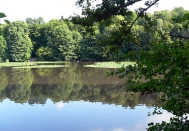
La forêt des étangs de Comelle - Orry la Ville


Walking
Medium
(1)
Orry-la-Ville,
Hauts-de-France,
Oise,
France

11.4 km | 13 km-effort
4h 0min
Yes

FORET DE COYE BOUCLE 16 KM


Walking
Very difficult
(1)
Orry-la-Ville,
Hauts-de-France,
Oise,
France

16.3 km | 19.4 km-effort
4h 23min
No


 SityTrail


