


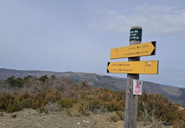
11 km | 17.2 km-effort


User GUIDE


FREE GPS app for hiking
 SityTrail
IGN / Geographical institutes
SityTrail World
The world is yours!
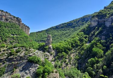
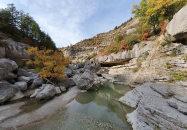
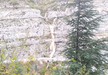
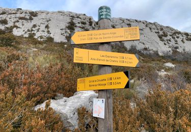
Trail Walking of 14.8 km to be discovered at Provence-Alpes-Côte d'Azur, Hautes-Alpes, Val-Buëch-Méouge. This trail is proposed by RobinMicheline.
Belle randonnee , montee raide depart , vue magnifique au sommet sur les 3 vallees Buech Durance Meouge descente agreable a refaire


Walking
Walking
Walking
Walking
Walking

Walking
Walking

Mountain bike
Walking