Trail Walking Montauroux - Lac de St Cassien  - Photo
 domi06
domi06

User

© OpenStreetMap contributors
Length
Length
14.9 km
Max alt
Max alt
346 m
Uphill gradient
Uphill gradient
338 m
Km-Effort
Km-Effort  
19.4 km
Min alt
Min alt
145 m
Downhill gradient
Downhill gradient
337 m
Boucle
Boucle
Yes
Creation date :
2020-02-12 08:33:19.573
Updated on :
2020-02-18 17:08:47.248

(0 Reviews)

Walking
Walking
5h52
Difficulty : Easy

Scan this QR Code to open this trail in the SityTrail application

FREE GPS app for hiking

Logo SityTrail SityTrail

IGN / Geographical institutes

Download SityTrail from the App Store Download SityTrail from Google Play

Logo SityTrail SityTrail World

The world is yours!

Download SityTrail from the App Store Download SityTrail from Google Play Download SityTrail on Huawei AppGallery

About

Trail Walking of 14.9 km to be discovered at Provence-Alpes-Côte d'Azur, Var, Montauroux. This trail is proposed by domi06.

Description

Difficulté Effort 2, risque 1, technicité 1.( Cotation sur 5)
Description de la randonnée
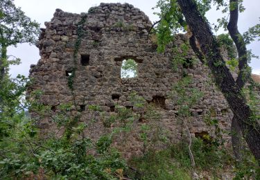
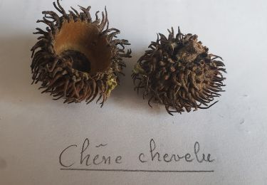
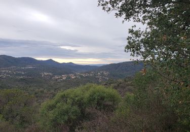
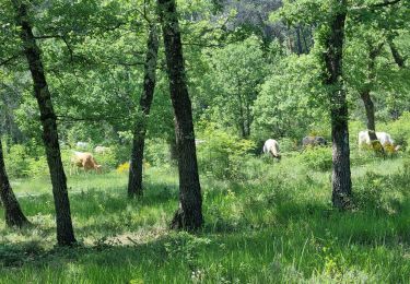
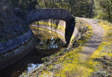
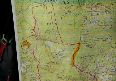
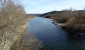
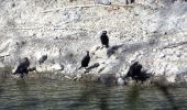
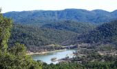
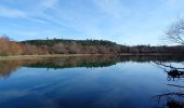
Le départ se fera du Parking de la réserve de Fondurane. Nous traverserons  la rivière « Le Biançon », pour atteindre une piste. Vous êtes dans le vallon de la Carpenée. Après 1,4km vous entrez dans la réserve biologique de Fondurance. Le paysage est constitué d’une mosaïque de milieux. Cette diversité permet au site d’abriter de nombreux oiseaux migrateurs, des tortues aquatiques, une forêt particulière d'un chêne très rare en France. Quitter la réserve pour gravir un petit chemin de randonnée et admirer quelques points de vue. Après 4.6km descendre vers le lac pour rejoindre le GR49. Déjeuner au bord du lac et retour vers le point de départ.

Elevation profile

Photos

Positioning

Country:
France
Region :
Provence-Alpes-Côte d'Azur
Department/Province :
Var
Municipality :
Montauroux
Location:
Unknown
Start:(UTM)
320245 ; 4828558 (32T) N.

Trails nearby

Trail Walking Montauroux - Frankrijk - Lac de St. Cassien - Provence - Photo
Walking
gpstracks

Walking

Very easy
(1)
Montauroux, Provence-Alpes-Côte d'Azur, Var, France
13.5 km | 18.7 km-effort
Unknown
No
Trail Walking Callian - Callian, ruines de Velnasque - Photo
Walking
Pascal-83

Walking

Medium
Callian, Provence-Alpes-Côte d'Azur, Var, France
13.7 km | 18.3 km-effort
6h 1min
No
Trail Walking Tourrettes - Chêne chevelu et chêne crénelé - Photo
Walking
boulinevelyne

Walking

Medium
Tourrettes, Provence-Alpes-Côte d'Azur, Var, France
7 km | 9.8 km-effort
2h 13min
Yes
Trail Mountain bike Tanneron - autour de tanneron - Photo
Mountain bike
papamorse

Mountain bike

Very difficult
(1)
Tanneron, Provence-Alpes-Côte d'Azur, Var, France
30 km | 41 km-effort
2h 50min
Yes
Trail Walking Montauroux - Le lac de Saint Cassien et la réserve biologique de Fondurane - Photo
Walking
boulinevelyne

Walking

Medium
Montauroux, Provence-Alpes-Côte d'Azur, Var, France
13.7 km | 18 km-effort
4h 51min
Yes
Trail Walking Montauroux - z le bas défens à Montauroux 23-05-23 - Photo
Walking
cb8310

Walking

Medium
Montauroux, Provence-Alpes-Côte d'Azur, Var, France
5.3 km | 6.6 km-effort
2h 2min
Yes
Trail Walking Montauroux - Montauroux - Stade - Pont des Tuves - Chapelle St Saturnin - Dolmen - Ste Cézaire sur Siagne - Photo
Walking
LtZIP

Walking

Medium
Montauroux, Provence-Alpes-Côte d'Azur, Var, France
19 km | 29 km-effort
5h 12min
Yes
Trail Walking Callian - CCB Callian vallon de la Camiole - Photo
Walking
Ninie38MD

Walking

Medium
Callian, Provence-Alpes-Côte d'Azur, Var, France
14.3 km | 19.3 km-effort
9h 7min
Yes
Trail Walking Montauroux - St Cezaire : gorges de la Siagne  - Photo
Walking
ETMU5496

Walking

Very difficult
Montauroux, Provence-Alpes-Côte d'Azur, Var, France
20 km | 31 km-effort
7h 8min
Yes


Close
My subscriptions