


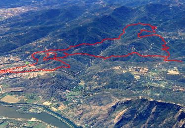
14.4 km | 20 km-effort

User


FREE GPS app for hiking
 SityTrail
IGN / Geographical institutes
SityTrail World
The world is yours!
Trail On foot of 6.7 km to be discovered at Provence-Alpes-Côte d'Azur, Var, Roquebrune-sur-Argens. This trail is proposed by cb8310.
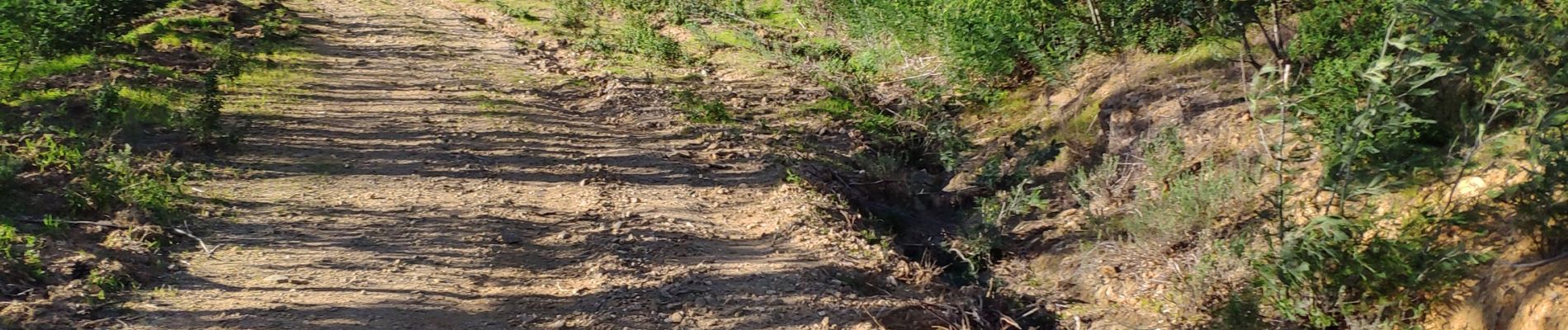
longue montée sur 2 km à travers de petits sentiers,puis larges pistes avec forêt de mimosas et descente
sortie de secours dans le domaine de la Bergerie fermée jusqu'au 4 mars
puis bonne remontée pour accéder aux voitures


Walking

Walking

Walking

Walking
Walking

On foot
Walking
Walking

Walking