


5.8 km | 6.3 km-effort


FREE GPS app for hiking
 SityTrail
IGN / Geographical institutes
SityTrail World
The world is yours!
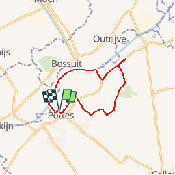
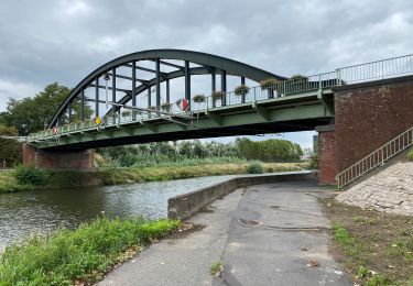
Trail Walking of 9.5 km to be discovered at Wallonia, Hainaut, Celles. This trail is proposed by jacques.moulin@hotmail.com.
Au départ de l'Eglise, boucle au Nord-Est de Pottes. A mi-chemin, petit demi-tour sur quelques centaines de mètres car le chemin qui rejoint l'Escaut était fraîchement labouré et impraticable ce jour de pluie.
On foot

On foot

Equestrian

On foot

Walking
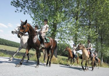
Equestrian
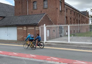
Walking
Walking
Walking