12.2 km | 14.9 km-effort
toutl
AMOURETTE
User
Length
10.2 km
Max alt
164 m
Uphill gradient
242 m
Km-Effort
13.4 km
Min alt
26 m
Downhill gradient
244 m
Boucle
Yes
Creation date :
2020-02-06 12:46:41.469
Updated on :
2020-02-08 12:15:21.123
2h09
Difficulty : Very easy
FREE GPS app for hiking
About
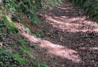
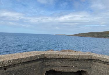
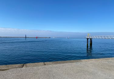
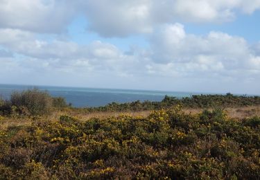
Trail Walking of 10.2 km to be discovered at Normandy, Manche, Cherbourg-en-Cotentin. This trail is proposed by AMOURETTE.
Positioning
Country:
France
Region :
Normandy
Department/Province :
Manche
Municipality :
Cherbourg-en-Cotentin
Location:
Tourlaville
Start:(Dec)
Start:(UTM)
603503 ; 5498290 (30U) N.
Comments
Trails nearby
Séjour Cotentin Etape 7 Boucle Cherbourg avant départ
On foot
Easy
Cherbourg-en-Cotentin,
Normandy,
Manche,
France
3h 22min
No
La Glacerie
Walking
Easy
Cherbourg-en-Cotentin,
Normandy,
Manche,
France
6.6 km | 8.7 km-effort
1h 26min
Yes
Bretteville Pointe de la Bricq
Walking
Bretteville,
Normandy,
Manche,
France
7.3 km | 8.3 km-effort
2h 19min
Yes
Autour de Cherbourg en vélo
Road bike
Very easy
Cherbourg-en-Cotentin,
Normandy,
Manche,
France
24 km | 26 km-effort
2h 12min
Yes
Tourlaville : 22 octobre 2017
Walking
Easy
Cherbourg-en-Cotentin,
Normandy,
Manche,
France
6.2 km | 7.5 km-effort
1h 2min
Yes
Relais des 4 châteaux 2013 - Tourlaville
Mountain bike
Difficult
Cherbourg-en-Cotentin,
Normandy,
Manche,
France
30 km | 38 km-effort
3h 0min
Yes
Le colignon
Walking
Very easy
(1)
Cherbourg-en-Cotentin,
Normandy,
Manche,
France
5.8 km | 7.2 km-effort
1h 34min
Yes
Les chemins de Saint- Michel - Cherbourg - Lessay
Walking
Medium
Cherbourg-en-Cotentin,
Normandy,
Manche,
France
91 km | 103 km-effort
Unknown
No
GR 223 - de Cherbourg à Flamanville
Walking
Medium
(1)
Cherbourg-en-Cotentin,
Normandy,
Manche,
France
70 km | 87 km-effort
16h 0min
No