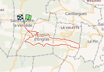
ST Laurent la Vernède- Chapelle St Jean d'Orgerolles
Manoune
User
Length
16.4 km
Max alt
255 m
Uphill gradient
252 m
Km-Effort
19.7 km
Min alt
184 m
Downhill gradient
253 m
Boucle
Yes
Creation date :
2020-02-07 14:47:25.136
Updated on :
2020-02-08 14:26:36.672
--
Difficulty : Medium
FREE GPS app for hiking
About
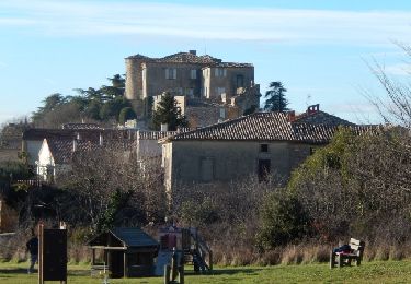
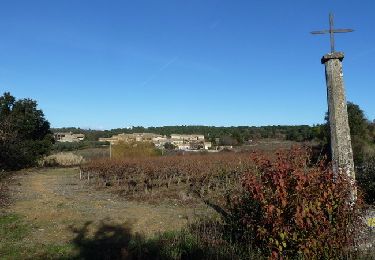
Trail On foot of 16.4 km to be discovered at Occitania, Gard, Saint-Laurent-la-Vernède. This trail is proposed by Manoune.
Description
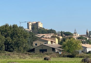
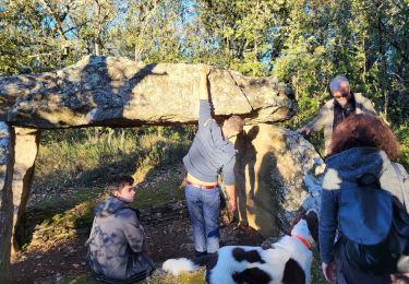
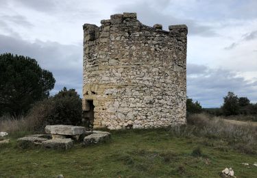
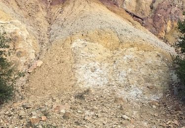
Parking dans le village de St Laurent. La Bastide-d'Engras. Chapelle St Jean. Pougnadoresse. Moussarde. La Salette. Mas de Roche. Triargues. Combe Lazenet. Retour parking
Positioning
Country:
France
Region :
Occitania
Department/Province :
Gard
Municipality :
Saint-Laurent-la-Vernède
Location:
Unknown
Start:(Dec)
Start:(UTM)
616742 ; 4884684 (31T) N.
Comments
Trails nearby
Rando Natura 2020
Walking
(1)
Saint-Laurent-la-Vernède,
Occitania,
Gard,
France
11.9 km | 14.2 km-effort
3h 14min
Yes
Saint Laurent la Vernède
Other activity
Very easy
Saint-Laurent-la-Vernède,
Occitania,
Gard,
France
21 km | 24 km-effort
2h 48min
No
Chapelle St-Jean - La Bastide d'Engras
Mountain bike
Medium
La Bastide-d'Engras,
Occitania,
Gard,
France
17.6 km | 21 km-effort
2h 0min
Yes
Chapelle St-Jean - La Bastide d'Engras
Walking
Difficult
La Bastide-d'Engras,
Occitania,
Gard,
France
17.6 km | 21 km-effort
4h 30min
Yes
Randonnée autour de Cavillargues
Mountain bike
Medium
Cavillargues,
Occitania,
Gard,
France
17.8 km | 23 km-effort
2h 0min
Yes
Randonnée autour de Cavillargues
Walking
Medium
Cavillargues,
Occitania,
Gard,
France
17.8 km | 23 km-effort
5h 0min
Yes
Mont bouquet
Walking
Saint-Quentin-la-Poterie,
Occitania,
Gard,
France
19.7 km | 29 km-effort
2h 22min
No
Boucle Fontarèches - La Brugière
Walking
Very easy
Fontarèches,
Occitania,
Gard,
France
8.4 km | 10.2 km-effort
2h 16min
Yes