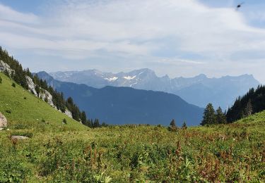
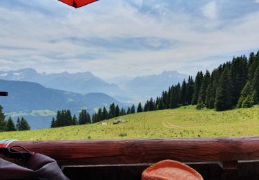
3.6 km | 6 km-effort
Solo trek de 3 jours, Préalpes (jour 2)
asc
User
Length
27 km
Max alt
2186 m
Uphill gradient
1339 m
Km-Effort
46 km
Min alt
1094 m
Downhill gradient
1736 m
Boucle
No
Creation date :
2014-12-11 00:00:00.0
Updated on :
2014-12-11 00:00:00.0
--
Difficulty : Unknown
FREE GPS app for hiking
About
Trail Other activity of 27 km to be discovered at Vaud, District d'Aigle, Leysin. This trail is proposed by asc.
Description
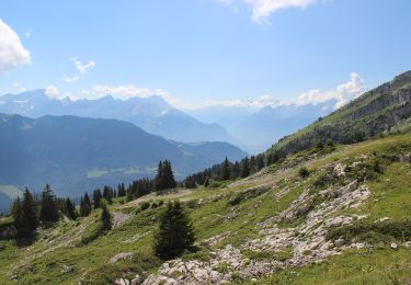
Ascension de la Ruinette par le col de la Lire, depuis le bas du barrage de Mauvoisin
Positioning
Country:
Switzerland
Region :
Vaud
Department/Province :
District d'Aigle
Municipality :
Leysin
Location:
Unknown
Start:(Dec)
Start:(UTM)
347206 ; 5138142 (32T) N.
Comments
Trails nearby
la Rionda
Walking
Medium
Leysin,
Vaud,
District d'Aigle,
Switzerland
7.4 km | 11.2 km-effort
2h 33min
No
bdr00_Leysin_StGingolphe
Other activity
Very easy
Leysin,
Vaud,
District d'Aigle,
Switzerland
26 km | 32 km-effort
Unknown
No
xxx00_Leysin_StGingolphe
Other activity
Very easy
Leysin,
Vaud,
District d'Aigle,
Switzerland
26 km | 32 km-effort
6h 41min
No
Bike32915
Mountain bike
Very easy
Leysin,
Vaud,
District d'Aigle,
Switzerland
30 km | 49 km-effort
Unknown
Yes
solacyre
Walking
Easy
Leysin,
Vaud,
District d'Aigle,
Switzerland
2.7 km | 6.3 km-effort
1h 20min
No
Solacyre
Snowshoes
Medium
Leysin,
Vaud,
District d'Aigle,
Switzerland
7.4 km | 12.9 km-effort
2h 53min
Yes
LEYSIN
Other activity
Very easy
Leysin,
Vaud,
District d'Aigle,
Switzerland
4.6 km | 8 km-effort
Unknown
No
Famelon 2
Winter sports
Very easy
Leysin,
Vaud,
District d'Aigle,
Switzerland
28 km | 57 km-effort
8h 45min
No