


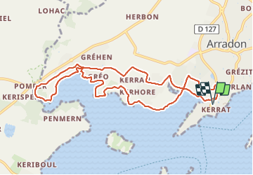

10.9 km | 12.3 km-effort


User


FREE GPS app for hiking
 SityTrail
IGN / Geographical institutes
SityTrail World
The world is yours!
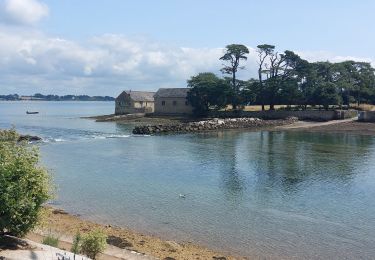
Trail Walking of 10.5 km to be discovered at Brittany, Morbihan, Arradon. This trail is proposed by PAM2235.
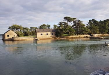
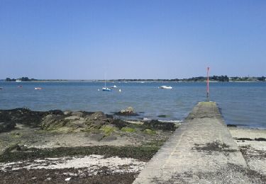
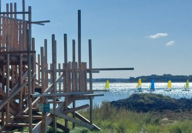
Circuit de 10,5 km au départ du parking de Kerrat, situé à l'entrée de la pointe d'Arradon. Aller par le sentier côtier (GR 34) jusqu'au Moulin de Pomper. Retour par le Moustoir, le château de Kerran et Rosclédan.
Walking
Walking

Cycle

Walking
Walking
Walking

Walking
Walking

Walking