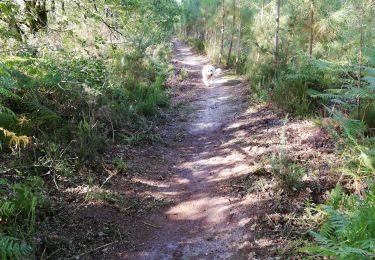
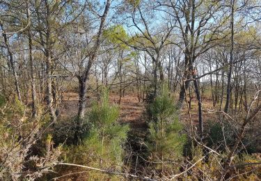
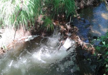
7 km | 7.9 km-effort
Maa_Pemora_Lessegues_Mont_Tuilerie_L&b
mico40
User
Length
8.6 km
Max alt
87 m
Uphill gradient
91 m
Km-Effort
9.8 km
Min alt
62 m
Downhill gradient
94 m
Boucle
Yes
Creation date :
2020-02-06 12:56:38.799
Updated on :
2020-02-06 16:51:11.784
2h14
Difficulty : Very easy
FREE GPS app for hiking
About
Trail Walking of 8.6 km to be discovered at New Aquitaine, Landes, Rion-des-Landes. This trail is proposed by mico40.
Positioning
Country:
France
Region :
New Aquitaine
Department/Province :
Landes
Municipality :
Rion-des-Landes
Location:
Rion-des-Landes
Start:(Dec)
Start:(UTM)
666933 ; 4866612 (30T) N.
Comments
Trails nearby
retjons, prit, carreyre - 7
Walking
Medium
(1)
Rion-des-Landes,
New Aquitaine,
Landes,
France
1h 47min
Yes
Tuilerie, pouchon, pinache, loriou, mollenave - 7.2
Walking
Medium
(1)
Rion-des-Landes,
New Aquitaine,
Landes,
France
7.2 km | 8 km-effort
1h 48min
Yes
Maa Lessègues Miconine Bioy 7km
Walking
Medium
(1)
Rion-des-Landes,
New Aquitaine,
Landes,
France
7.3 km | 8.2 km-effort
1h 52min
Yes
perrin, l'estuchat rive gauche, le moulin, retour par le borde - 7.3
Walking
Medium
(1)
Rion-des-Landes,
New Aquitaine,
Landes,
France
7.3 km | 8.1 km-effort
1h 50min
Yes
Galleben, menjoy, maisonnave, piocs, parcours de santé, maubay 8.5
Walking
Medium
(1)
Rion-des-Landes,
New Aquitaine,
Landes,
France
7.3 km | 8.2 km-effort
1h 51min
Yes
14484965-Arjuzanx lac 1
sport
Very easy
(1)
Rion-des-Landes,
New Aquitaine,
Landes,
France
38 km | 43 km-effort
Unknown
Yes
80 8 2021
Walking
Easy
Rion-des-Landes,
New Aquitaine,
Landes,
France
5.1 km | 5.7 km-effort
1h 11min
Yes
perrin, le borde, pont du moulin et retour rive gauche 7.3
Walking
Easy
Rion-des-Landes,
New Aquitaine,
Landes,
France
7.3 km | 8.2 km-effort
1h 26min
Yes
9517494-9515393_Cicuit Run & Bike_10km
Walking
Medium
Rion-des-Landes,
New Aquitaine,
Landes,
France
9.8 km | 11.2 km-effort
2h 28min
Yes