


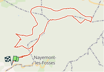


11.3 km | 19.6 km-effort


User


FREE GPS app for hiking
 SityTrail
IGN / Geographical institutes
SityTrail World
The world is yours!
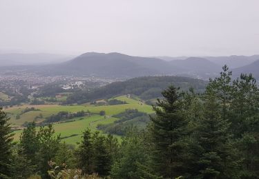
Trail Walking of 14.6 km to be discovered at Grand Est, Vosges, Saint-Dié-des-Vosges. This trail is proposed by 1957.
Dijon-Sapin Sec-Ormont-Raves-Moliere-Chapeau-Fee-Dijon


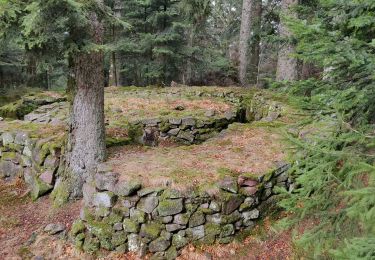
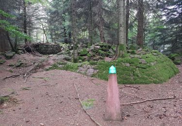
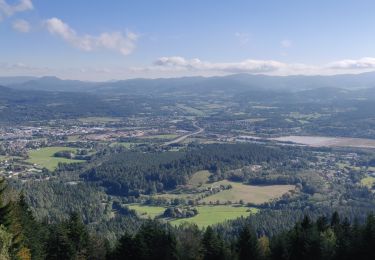
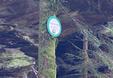
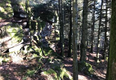
21 photos in total. Please click on a photo to see them all in the gallery.
Walking
Walking
Walking
Walking
Walking

Horseback riding

Walking
Walking

Other activity