chapelle vallon SityTrail > Trails > Outdoor > France > Grand Est > Aube > Chapelle-Vallon SityTrail > Trails > Outdoor > France > Grand Est > Aube > Chapelle-Vallon chapelle vallon daniel.evrard.1@cegetel.net User 3D © OpenStreetMap contributors Length 10.4 km Max alt 173 m Uphill gradient 88 m Km-Effort 11.5 km Min alt 120 m Downhill gradient 89 m Boucle Yes Creation date : 2020-02-05 13:06:10.533 Updated on : 2020-02-06 00:34:34.631 (0 Reviews) Walking 2h51 Difficulty : Very easy FREE GPS app for hiking SityTrail IGN / Geographical institutes SityTrail World The world is yours! About 
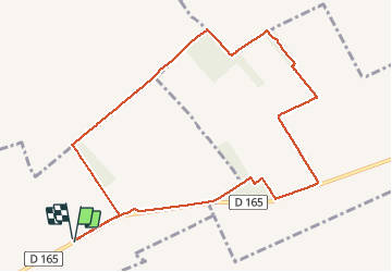
Trail Walking of 10.4 km to be discovered at Grand Est, Aube, Chapelle-Vallon. This trail is proposed by daniel.evrard.1@cegetel.net. Legends | More details (PDF) Elevation profile Legends > 15% 15% - 10% 10% - 5% flat 5% - 10% 10% - 15% 15% - 30% > 30% Positioning Country: France Region : Grand Est Department/Province : Aube Municipality : Chapelle-Vallon Location: Unknown Start:(Dec) 48.44154115 / 4.05656273 Start:(UTM) 578139 ; 5365917 (31U) N. Comments Please log in to post a review or rate the element Trails nearby m.rambouillet Test Walking Feuges, Grand Est, Aube, France 11.9 km | 14.5 km-effort 2h 37min Yes DMathieu10 villacerf Walking Very easy Villacerf, Grand Est, Aube, France 9.7 km | 10.5 km-effort 2h 27min No