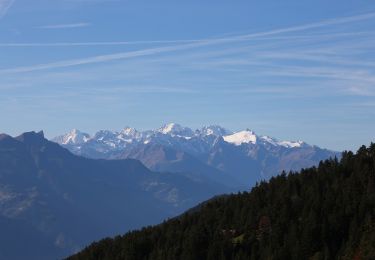
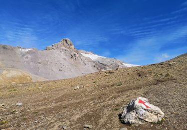
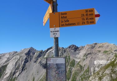
4.5 km | 7.4 km-effort
L''Oldenhorn, de Plan-Cernet, 3122m.
asc
User
Length
10.8 km
Max alt
3097 m
Uphill gradient
1747 m
Km-Effort
28 km
Min alt
1347 m
Downhill gradient
12 m
Boucle
No
Creation date :
2014-12-11 00:00:00.0
Updated on :
2014-12-11 00:00:00.0
--
Difficulty : Unknown
FREE GPS app for hiking
About
Trail Other activity of 10.8 km to be discovered at Valais/Wallis, Conthey, Conthey. This trail is proposed by asc.
Description
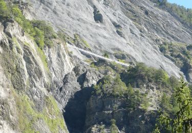
Ascension de la Ruinette par le col de la Lire, depuis le bas du barrage de Mauvoisin
Positioning
Country:
Switzerland
Region :
Valais/Wallis
Department/Province :
Conthey
Municipality :
Conthey
Location:
Unknown
Start:(Dec)
Start:(UTM)
370908 ; 5127979 (32T) N.
Comments
Trails nearby
Mayen de la Zour-Prabé
Walking
Very easy
(1)
Savièse,
Valais/Wallis,
Sion,
Switzerland
3.8 km | 10.3 km-effort
Unknown
No
Bisse de la Tsandra
On foot
Easy
Conthey,
Valais/Wallis,
Conthey,
Switzerland
7.4 km | 10.5 km-effort
2h 23min
No
Grimisuat
Nordic walking
Very easy
Arbaz,
Valais/Wallis,
Sion,
Switzerland
3.6 km | 4.8 km-effort
1h 1min
No
19.08.20 cabane Audanne
Nordic walking
Very easy
Arbaz,
Valais/Wallis,
Sion,
Switzerland
6 km | 11.3 km-effort
2h 54min
No
27.07.20 Pas de Maimbré
Nordic walking
Very easy
Arbaz,
Valais/Wallis,
Sion,
Switzerland
8.4 km | 19.2 km-effort
3h 50min
No
23.07.20 Anzère
Nordic walking
Very easy
Arbaz,
Valais/Wallis,
Sion,
Switzerland
5.9 km | 9 km-effort
1h 48min
No
09.07.20 Anzère
Nordic walking
Very easy
Arbaz,
Valais/Wallis,
Sion,
Switzerland
7.2 km | 11.8 km-effort
2h 11min
No
06.07.20 bisse de Sion
Nordic walking
Very easy
Arbaz,
Valais/Wallis,
Sion,
Switzerland
6.2 km | 10.7 km-effort
2h 11min
Yes