


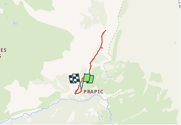


6.3 km | 9.9 km-effort

User


FREE GPS app for hiking
 SityTrail
IGN / Geographical institutes
SityTrail World
The world is yours!
Trail Snowshoes of 4.9 km to be discovered at Provence-Alpes-Côte d'Azur, Hautes-Alpes, Orcières. This trail is proposed by Marc Auger.
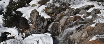
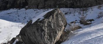
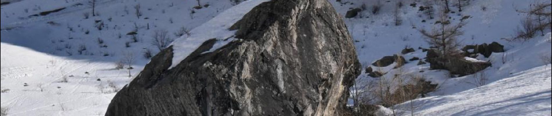
Randonnée raquette depuis le parking de Prapic aux cascades du torrent du Blaisil en passant par le tombeau du poète Joseph Reymond.
Suivant la température il est possible de voir les cascades en glace.


Walking

Walking

Walking

Walking

Touring skiing

Walking

Walking

Touring skiing

Touring skiing