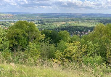
8.8 km | 11.5 km-effort
Les Coteaux de FOURGES_16Km
douneto
User
Length
15.9 km
Max alt
141 m
Uphill gradient
203 m
Km-Effort
18.6 km
Min alt
22 m
Downhill gradient
203 m
Boucle
Yes
Creation date :
2019-04-30 14:33:14.906
Updated on :
2019-04-30 14:33:14.941
3h50
Difficulty : Medium
FREE GPS app for hiking
About
Trail Walking of 15.9 km to be discovered at Ile-de-France, Val-d'Oise, Amenucourt. This trail is proposed by douneto.
Description
Rando Avril 2017
Départ du parking du Moulin de Fourges ( vue sur le moulin ...).
Positioning
Country:
France
Region :
Ile-de-France
Department/Province :
Val-d'Oise
Municipality :
Amenucourt
Location:
Unknown
Start:(Dec)
Start:(UTM)
401203 ; 5441719 (31U) N.
Comments
Trails nearby
La Roche Guyon - Chérence
Walking
Medium
(2)
La Roche-Guyon,
Ile-de-France,
Val-d'Oise,
France
2h 30min
Yes
Chaussy - Villarceaux vers Chaussy
Walking
Easy
(1)
Chaussy,
Ile-de-France,
Val-d'Oise,
France
10.4 km | 12.9 km-effort
2h 48min
Yes
Chaussy - Villarceaux - Genainville
Walking
Easy
(1)
Chaussy,
Ile-de-France,
Val-d'Oise,
France
11.3 km | 13.7 km-effort
2h 57min
Yes
Rando Douce 1 - Ecos
Walking
Easy
(1)
Vexin-sur-Epte,
Normandy,
Eure,
France
6.5 km | 7.6 km-effort
1h 28min
Yes
Ecos - les trois boucles court
Walking
Easy
(2)
Vexin-sur-Epte,
Normandy,
Eure,
France
11.1 km | 13.1 km-effort
2h 51min
Yes
La Roche-Guyon boucle
Walking
Easy
(1)
La Roche-Guyon,
Ile-de-France,
Val-d'Oise,
France
15.5 km | 19.5 km-effort
4h 15min
Yes
La Roche Guyon - Forêt + falaises
Walking
Medium
(2)
La Roche-Guyon,
Ile-de-France,
Val-d'Oise,
France
12.1 km | 15.3 km-effort
3h 22min
Yes
cherence vetheuil
Walking
Haute-Isle,
Ile-de-France,
Val-d'Oise,
France
11.1 km | 14.5 km-effort
3h 21min
Yes
La Roche Guyon
Walking
Very easy
La Roche-Guyon,
Ile-de-France,
Val-d'Oise,
France
8.6 km | 11.4 km-effort
2h 53min
Yes