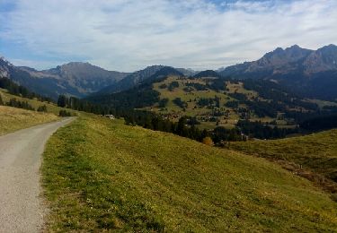
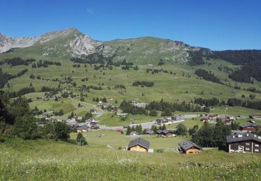
11.1 km | 16.4 km-effort
La Tour Famelon, 2138m
asc
User
Length
12.1 km
Max alt
2074 m
Uphill gradient
876 m
Km-Effort
24 km
Min alt
1281 m
Downhill gradient
895 m
Boucle
Yes
Creation date :
2014-12-11 00:00:00.0
Updated on :
2014-12-11 00:00:00.0
--
Difficulty : Unknown
FREE GPS app for hiking
About
Trail Other activity of 12.1 km to be discovered at Vaud, District d'Aigle, Ormont-Dessous. This trail is proposed by asc.
Description
Ascension de la Ruinette par le col de la Lire, depuis le bas du barrage de Mauvoisin
Positioning
Country:
Switzerland
Region :
Vaud
Department/Province :
District d'Aigle
Municipality :
Ormont-Dessous
Location:
Unknown
Start:(Dec)
Start:(UTM)
352153 ; 5137541 (32T) N.
Comments
Trails nearby
Circuit La Lécherette - col de Sonlomont - lac de l'Hongrin 18.08.2019
Walking
Medium
Château-d'Oex,
Vaud,
District de la Riviera-Pays-d’Enhaut,
Switzerland
3h 25min
Yes
Lac de l'Hongrin
Walking
Easy
Château-d'Oex,
Vaud,
District de la Riviera-Pays-d’Enhaut,
Switzerland
16.7 km | 24 km-effort
3h 31min
Yes
les mosses/pra croset
Touring skiing
Easy
Ormont-Dessous,
Vaud,
District d'Aigle,
Switzerland
10.1 km | 16 km-effort
4h 5min
No
bdr00_Leysin_StGingolphe
Other activity
Very easy
Leysin,
Vaud,
District d'Aigle,
Switzerland
26 km | 32 km-effort
Unknown
No
xxx00_Leysin_StGingolphe
Other activity
Very easy
Leysin,
Vaud,
District d'Aigle,
Switzerland
26 km | 32 km-effort
6h 41min
No
Pic chaussy
Walking
Difficult
Ormont-Dessous,
Vaud,
District d'Aigle,
Switzerland
6.6 km | 15.7 km-effort
5h 0min
Yes
Lac Lioson
Walking
Very easy
Ormont-Dessous,
Vaud,
District d'Aigle,
Switzerland
7.8 km | 14.7 km-effort
4h 24min
Yes
Col des Mosses - Lac Lioson - Pra Cornet
Walking
Medium
Ormont-Dessous,
Vaud,
District d'Aigle,
Switzerland
9.6 km | 16 km-effort
3h 22min
Yes
Pic de Chaussy
Walking
Medium
Ormont-Dessous,
Vaud,
District d'Aigle,
Switzerland
12.1 km | 23 km-effort
6h 4min
Yes