


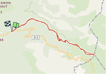

6.2 km | 10.3 km-effort


User


FREE GPS app for hiking
 SityTrail
IGN / Geographical institutes
SityTrail World
The world is yours!
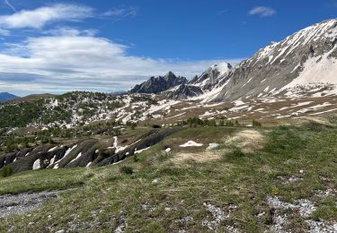
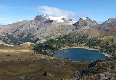
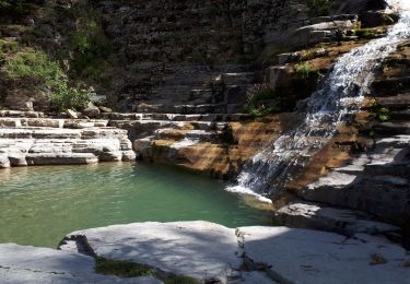
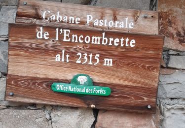
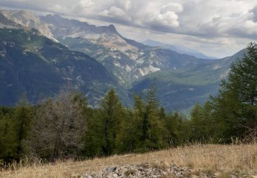
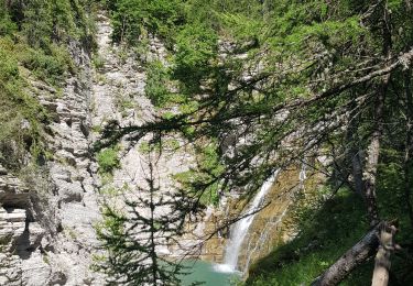
Trail Snowshoes of 12.8 km to be discovered at Provence-Alpes-Côte d'Azur, Alpes-de-Haute-Provence, Colmars. This trail is proposed by gerin.
rando au départ de ratery. Parcours moyen à difficile suivant qualité de neige et risque d'avalanches.

Walking
Walking
Walking
Walking
Walking
Walking
Walking
Walking
Walking