6.6 km | 15.6 km-effort
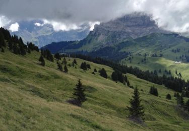
Le Pas de Cheville, 2030m
asc
User
Length
8.3 km
Max alt
2044 m
Uphill gradient
804 m
Km-Effort
16.5 km
Min alt
1255 m
Downhill gradient
34 m
Boucle
No
Creation date :
2014-12-11 00:00:00.0
Updated on :
2014-12-11 00:00:00.0
--
Difficulty : Unknown
FREE GPS app for hiking
About
Trail Other activity of 8.3 km to be discovered at Vaud, District d'Aigle, Gryon. This trail is proposed by asc.
Description
Ascension de la Ruinette par le col de la Lire, depuis le bas du barrage de Mauvoisin
Positioning
Country:
Switzerland
Region :
Vaud
Department/Province :
District d'Aigle
Municipality :
Gryon
Location:
Unknown
Start:(Dec)
Start:(UTM)
353642 ; 5127170 (32T) N.
Comments
Trails nearby
Tour du miroir d'Argentine
Walking
Very difficult
Bex,
Vaud,
District d'Aigle,
Switzerland
16.8 km | 30 km-effort
7h 5min
Yes
st_bg_villars1
Walking
Very easy
Ollon,
Vaud,
District d'Aigle,
Switzerland
5.6 km | 8.3 km-effort
Unknown
No
Bex (Genferseegebiet)
Walking
Very easy
Bex,
Vaud,
District d'Aigle,
Switzerland
10.5 km | 18.6 km-effort
5h 55min
Yes
Bike32918
Mountain bike
Very easy
Ollon,
Vaud,
District d'Aigle,
Switzerland
22 km | 35 km-effort
Unknown
Yes
Mxalps
Running
Difficult
Gryon,
Vaud,
District d'Aigle,
Switzerland
61 km | 116 km-effort
10h 0min
No
Mxalps
Running
Difficult
Gryon,
Vaud,
District d'Aigle,
Switzerland
61 km | 116 km-effort
Unknown
No
Circuit Col de la Croix - les lacs - Bretaye 13.07.17
Walking
Medium
Ollon,
Vaud,
District d'Aigle,
Switzerland
13.8 km | 21 km-effort
4h 27min
Yes
Col de la Croix
Walking
Medium
Ollon,
Vaud,
District d'Aigle,
Switzerland
11.9 km | 18.1 km-effort
3h 51min
Yes