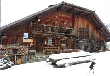
4.6 km | 7 km-effort
Le Niremont, 1514m
asc
User
Length
1.7 km
Max alt
1503 m
Uphill gradient
225 m
Km-Effort
3.9 km
Min alt
1275 m
Downhill gradient
0 m
Boucle
No
Creation date :
2014-12-11 00:00:00.0
Updated on :
2014-12-11 00:00:00.0
--
Difficulty : Unknown
FREE GPS app for hiking
About
Trail Other activity of 1.7 km to be discovered at Fribourg, District de la Veveyse, Châtel-Saint-Denis. This trail is proposed by asc.
Description
Ascension de la Ruinette par le col de la Lire, depuis le bas du barrage de Mauvoisin
Positioning
Country:
Switzerland
Region :
Fribourg
Department/Province :
District de la Veveyse
Municipality :
Châtel-Saint-Denis
Location:
Unknown
Start:(Dec)
Start:(UTM)
344822 ; 5156304 (32T) N.
Comments
Trails nearby
Tour de la Cagne
Snowshoes
Medium
(1)
Châtel-Saint-Denis,
Fribourg,
District de la Veveyse,
Switzerland
1h 44min
Yes
Raquette 8 Le Vuipay
Snowshoes
Medium
Châtel-Saint-Denis,
Fribourg,
District de la Veveyse,
Switzerland
7.5 km | 13.1 km-effort
3h 46min
Yes
autour du Corbetta
Walking
Easy
Châtel-Saint-Denis,
Fribourg,
District de la Veveyse,
Switzerland
6.2 km | 9.3 km-effort
1h 44min
No
nose
Walking
Very easy
Châtel-Saint-Denis,
Fribourg,
District de la Veveyse,
Switzerland
7.5 km | 13.1 km-effort
3h 46min
Yes
2018-07-26 Plan Francey Moleson en boucle
Walking
Medium
Gruyères,
Fribourg,
Gruyère District,
Switzerland
8 km | 16.1 km-effort
3h 12min
Yes
n10
Snowshoes
Easy
Châtel-Saint-Denis,
Fribourg,
District de la Veveyse,
Switzerland
3.3 km | 4.8 km-effort
1h 21min
Yes
y10_gruyere
Other activity
Very easy
Gruyères,
Fribourg,
Gruyère District,
Switzerland
6.9 km | 10.3 km-effort
2h 5min
No
Sentiers gourmande aux Paccots
Walking
Very easy
Châtel-Saint-Denis,
Fribourg,
District de la Veveyse,
Switzerland
11.4 km | 18.5 km-effort
Unknown
No
Käsereilehrpfad durchs Greyerzerland
Walking
Very easy
Gruyères,
Fribourg,
Gruyère District,
Switzerland
6.5 km | 9.5 km-effort
Unknown
No