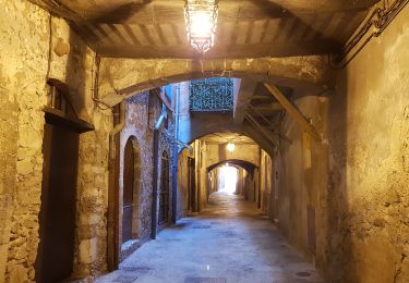
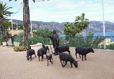
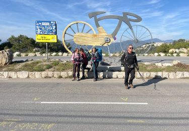
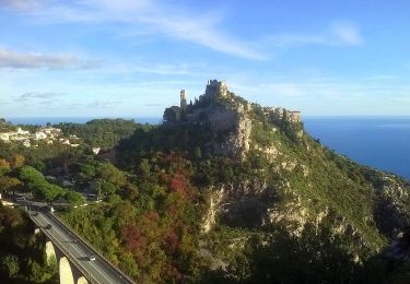
Trail Walking Saint-Jean-Cap-Ferrat - Pointe St Hospice, tour du cap Ferrat, Isthme de St Jean - Photo

Pointe St Hospice, tour du cap Ferrat, Isthme de St Jean

 domi06
domi06

User

© OpenStreetMap contributors
Length
Length
12.6 km
Max alt
Max alt
42 m
Uphill gradient
Uphill gradient
242 m
Km-Effort
Km-Effort  
15.8 km
Min alt
Min alt
-1 m
Downhill gradient
Downhill gradient
244 m
Boucle
Boucle
Yes
Creation date :
2020-01-29 08:46:53.32
Updated on :
2020-01-31 16:28:20.368

(0 Reviews)

Walking
Walking
5h15
Difficulty : Easy

Scan this QR Code to open this trail in the SityTrail application

FREE GPS app for hiking

Logo SityTrail SityTrail

IGN / Geographical institutes

Download SityTrail from the App Store Download SityTrail from Google Play

Logo SityTrail SityTrail World

The world is yours!

Download SityTrail from the App Store Download SityTrail from Google Play Download SityTrail on Huawei AppGallery

About

Trail Walking of 12.6 km to be discovered at Provence-Alpes-Côte d'Azur, Maritime Alps, Saint-Jean-Cap-Ferrat. This trail is proposed by domi06.

Description

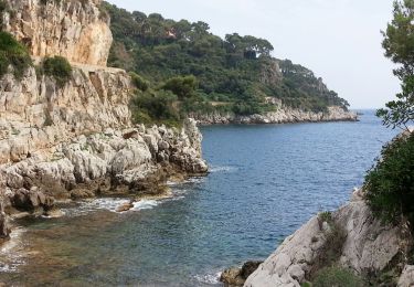
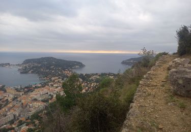
Partir du joli port de St Jean Cap Ferrat pour la Pointe ST Hospice de 3.8km. Sur le chemin  bref aller-retour jusqu’à la chapelle St Hospice et sa célèbre statue de la Vierge Marie. Presqu’île du Cap Ferrat 5.9km dont le sentier se fraye un passage à travers les falaises calcaires ou au bord des récifs acérés dont le phare du cap protégea les marins durant des lustres. Après la plage de la Passable, quelques escaliers jusqu’à l'office de tourisme, prendre à gauche vers la villa Rothschild , puis emprunter une petite route descendant vers  l’allée piétonne de l’Isthme de St Jean et sa splendide baie des Fourmis. Atteindre Beaulieu, puis reprendre la même allée jusqu'au parking retour

Elevation profile

Photos

Positioning

Country:
France
Region :
Provence-Alpes-Côte d'Azur
Department/Province :
Maritime Alps
Municipality :
Saint-Jean-Cap-Ferrat
Location:
Unknown
Start:(UTM)
365670 ; 4838976 (32T) N.

Trails nearby

Trail Walking Nice - Ballade chemin des douaniers Nice-Villefranche  - Photo
Walking
coriace

Walking

Very easy
(1)
Nice, Provence-Alpes-Côte d'Azur, Maritime Alps, France
7.9 km | 10.3 km-effort
2h 13min
No
Trail Walking Saint-Jean-Cap-Ferrat - Cap Ferrat 2011-10-27 - Photo
Walking
Cricounet84

Walking

Medium
(2)
Saint-Jean-Cap-Ferrat, Provence-Alpes-Côte d'Azur, Maritime Alps, France
10.9 km | 14 km-effort
4h 0min
Yes
Trail Walking Cap-d'Ail - Nice Cap d'Ail en train et retour par les cretes - Photo
Walking
GUIDE
jouans

Walking

Very difficult
Cap-d'Ail, Provence-Alpes-Côte d'Azur, Maritime Alps, France
23 km | 36 km-effort
8h 6min
No
Trail On foot Èze - Circuit du mont Bastide - Photo
On foot
GUIDE+

On foot

Easy
Èze, Provence-Alpes-Côte d'Azur, Maritime Alps, France
7 km | 14.7 km-effort
3h 20min
Yes
Trail Walking Èze - Mont Bastide, sentier de Nietzsche - Photo
Walking
PEBREJOSIANE

Walking

Easy
(1)
Èze, Provence-Alpes-Côte d'Azur, Maritime Alps, France
7.2 km | 15.1 km-effort
3h 15min
Yes
Trail Walking Saint-Jean-Cap-Ferrat - Tour du Cap Ferrat - Photo
Walking
GUIDE
Orcal37

Walking

Easy
Saint-Jean-Cap-Ferrat, Provence-Alpes-Côte d'Azur, Maritime Alps, France
7.1 km | 9.4 km-effort
1h 40min
Yes
Trail Walking Saint-Jean-Cap-Ferrat - w-frankrijk-tour-du-cap-ferrat - Photo
Walking
gpstracks

Walking

Very easy
(1)
Saint-Jean-Cap-Ferrat, Provence-Alpes-Côte d'Azur, Maritime Alps, France
6.5 km | 8.6 km-effort
Unknown
No
Trail Walking Saint-Jean-Cap-Ferrat - Tour du Cap Ferrat - Photo
Walking
tracegps

Walking

Medium
(4)
Saint-Jean-Cap-Ferrat, Provence-Alpes-Côte d'Azur, Maritime Alps, France
8.9 km | 11.2 km-effort
2h 0min
Yes
Trail Walking Villefranche-sur-Mer - Balcons de Beaulieu 11.1.24 - Photo
Walking
GUIDE
fredetpascale

Walking

Medium
Villefranche-sur-Mer, Provence-Alpes-Côte d'Azur, Maritime Alps, France
8 km | 13.7 km-effort
2h 30min
Yes


Close
My subscriptions