


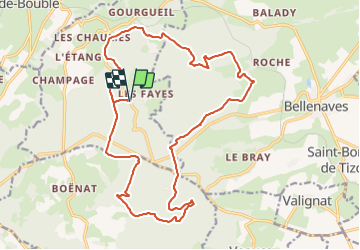

16.8 km | 22 km-effort

User GUIDE


FREE GPS app for hiking
 SityTrail
IGN / Geographical institutes
SityTrail World
The world is yours!
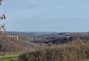
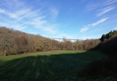
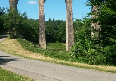
Trail Walking of 21 km to be discovered at Auvergne-Rhône-Alpes, Allier, Coutansouze. This trail is proposed by jagarnier.
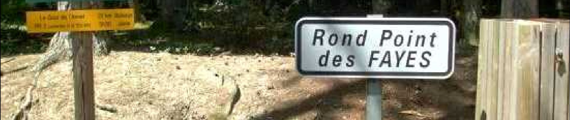
Longues traversées dans les célèbres hêtraies au cœur de la forêt domaniale des Colettes, descente dans la secrète vallée de la Veauce … une immersion dans le peuple des arbres.

Walking
Mountain bike
Mountain bike
Walking

Walking
Walking
Walking
Walking

Other activity