


5.4 km | 9.5 km-effort

User


FREE GPS app for hiking
 SityTrail
IGN / Geographical institutes
SityTrail World
The world is yours!
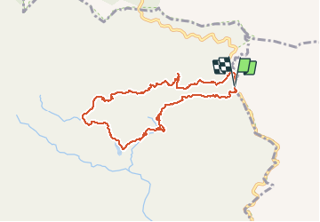
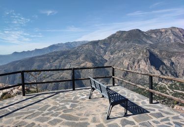
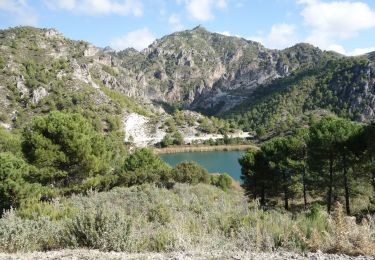
Trail Walking of 9.5 km to be discovered at Andalusia, Granada, Lentegí. This trail is proposed by jpipacific.
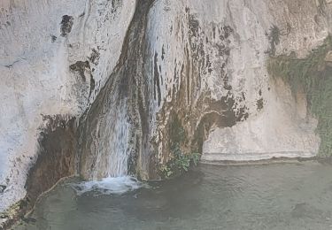
Magnifique randonnée jusqu'à la cascade des arbres pétrifiés.
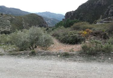
Après c'est un peu long, les paysages sont moins époustouflants et la pente n'est pas douce.


Walking
Walking
Walking
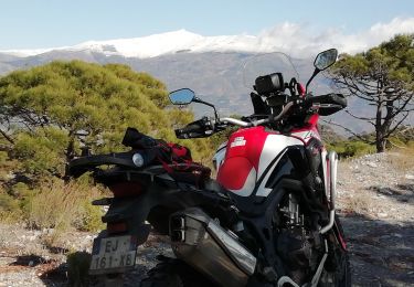
Moto cross
Walking

Walking
Walking