14.5 km | 18.4 km-effort
Foulangues 9,7km
boularand
User
Length
9.7 km
Max alt
113 m
Uphill gradient
157 m
Km-Effort
11.8 km
Min alt
47 m
Downhill gradient
156 m
Boucle
Yes
Creation date :
2020-01-24 10:16:00.102
Updated on :
2020-01-24 10:17:23.852
2h33
Difficulty : Medium
FREE GPS app for hiking
About
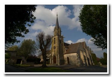
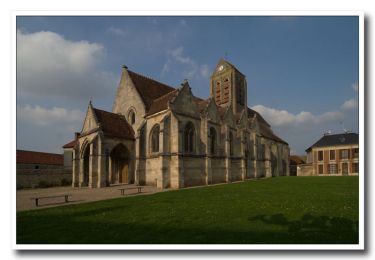
Trail Walking of 9.7 km to be discovered at Hauts-de-France, Oise, Cires-lès-Mello. This trail is proposed by boularand.
Positioning
Country:
France
Region :
Hauts-de-France
Department/Province :
Oise
Municipality :
Cires-lès-Mello
Location:
Unknown
Start:(Dec)
Start:(UTM)
451038 ; 5456332 (31U) N.
Comments
Trails nearby
Randonnée d'Ully St Georges
Walking
Difficult
(2)
Ully-Saint-Georges,
Hauts-de-France,
Oise,
France
3h 40min
Yes
La Vallée de Noé - Neuilly-en-Thelle
Walking
Difficult
(1)
Neuilly-en-Thelle,
Hauts-de-France,
Oise,
France
13.5 km | 16.1 km-effort
3h 30min
Yes
La Vallée de Noé - Neuilly en Thelle
Walking
Medium
(1)
Neuilly-en-Thelle,
Hauts-de-France,
Oise,
France
13.5 km | 16.1 km-effort
3h 30min
Yes
Cires-lès-Mello, coté Ouest
Mountain bike
Medium
Cires-lès-Mello,
Hauts-de-France,
Oise,
France
58 km | 69 km-effort
3h 30min
Yes
Cires les Mello
Walking
Medium
Cires-lès-Mello,
Hauts-de-France,
Oise,
France
12.7 km | 15.4 km-effort
3h 20min
Yes
Cires les Mello
Walking
Medium
Cires-lès-Mello,
Hauts-de-France,
Oise,
France
12.7 km | 15.4 km-effort
3h 20min
Yes
Blaincourt-lès-Précy PN
Walking
Easy
Blaincourt-lès-Précy,
Hauts-de-France,
Oise,
France
17.3 km | 21 km-effort
4h 40min
Yes
Blaincourt-lès-Précy GP
Walking
Easy
Blaincourt-lès-Précy,
Hauts-de-France,
Oise,
France
20 km | 24 km-effort
5h 17min
Yes
Blaincourt-lès-Précy GP
Walking
Easy
Blaincourt-lès-Précy,
Hauts-de-France,
Oise,
France
20 km | 24 km-effort
5h 17min
Yes