


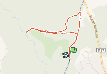

11.8 km | 16.4 km-effort


User


FREE GPS app for hiking
 SityTrail
IGN / Geographical institutes
SityTrail World
The world is yours!
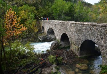
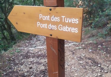
Trail On foot of 4.9 km to be discovered at Provence-Alpes-Côte d'Azur, Var, Tourrettes. This trail is proposed by cb8310.
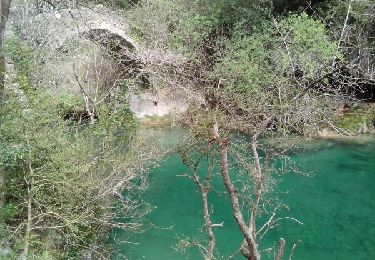
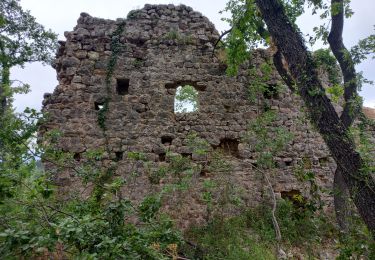
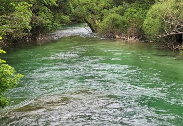
encore une très belle rando à faire en été dans les sous-bois avec une partie de la boucle que nous n'avons pas pu faire à cause,une nouvelle fois d'une propriété privée
Walking

Walking
Walking
Walking

Walking
Walking
Walking
Walking
Walking