


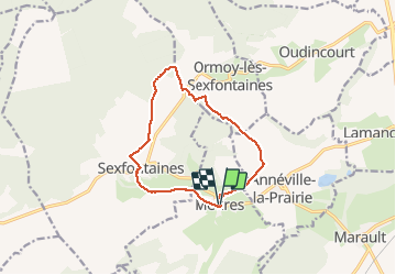

12.7 km | 15.9 km-effort


User


FREE GPS app for hiking
 SityTrail
IGN / Geographical institutes
SityTrail World
The world is yours!
Trail Walking of 11 km to be discovered at Grand Est, Haute-Marne, Meures. This trail is proposed by janussity.
depart derrière l'église.
Lavoir de Sexfontaine
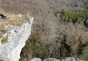
Côte 403
Lisiere du bois
Vers Marie Calvez en longeant propriété privée.
A gauche vers cimetière.
Eglise.
Reconnaissance le 16/01/2020 par beau temps frais.
Walking
Walking
Mountain bike

Walking
Walking
Walking
Walking