


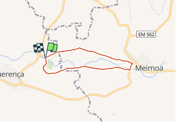

14.7 km | 22 km-effort

User


FREE GPS app for hiking
 SityTrail
IGN / Geographical institutes
SityTrail World
The world is yours!
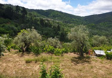
Trail On foot of 6 km to be discovered at Centro, Castelo Branco, Benquerença. This trail is proposed by Strabidja.
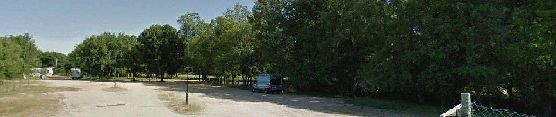
Départ depuis l'aire de camping-car boucle de 6km facile

Walking

Walking
Walking