


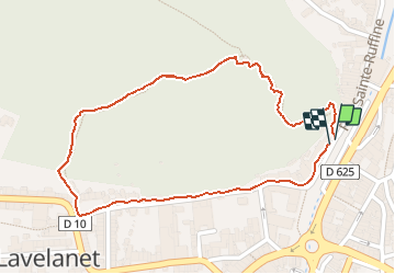

12.6 km | 21 km-effort

User


FREE GPS app for hiking
 SityTrail
IGN / Geographical institutes
SityTrail World
The world is yours!
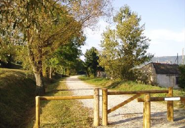
Trail Walking of 1.3 km to be discovered at Occitania, Ariège, Lavelanet. This trail is proposed by jopost.
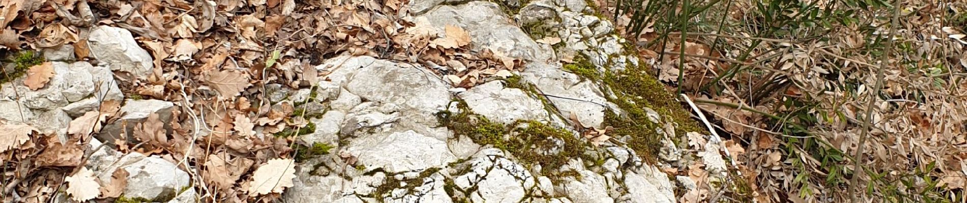
en attendant le printemps , voici les photos d'hiver approximatives, je ne suis pas spécialiste hihi mais cela vous permettra de vous situer par rapport à l'application Smart'Flore que vous pouvez charger sur votre portable.


Walking
Electric bike

On foot

Walking
Walking

Walking

Walking

Walking
Walking