


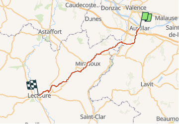

17.3 km | 23 km-effort


User


FREE GPS app for hiking
 SityTrail
IGN / Geographical institutes
SityTrail World
The world is yours!
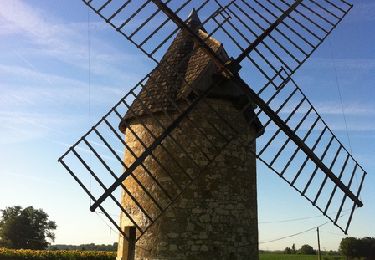
Trail On foot of 33 km to be discovered at Occitania, Tarn-et-Garonne, Auvillar. This trail is proposed by ghislainem.
Walking

Walking
Walking

Walking

Mountain bike
Walking
Walking


sport
sport