


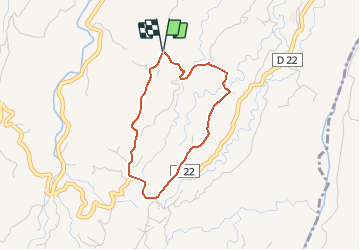

10.3 km | 14.4 km-effort


User GUIDE


FREE GPS app for hiking
 SityTrail
IGN / Geographical institutes
SityTrail World
The world is yours!
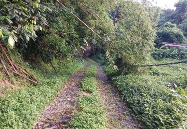
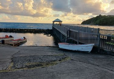
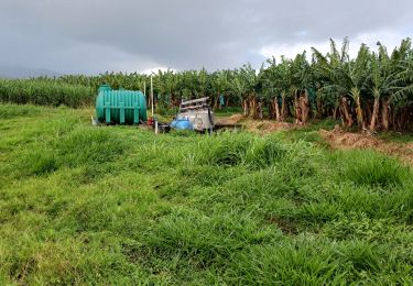
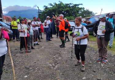
Trail Walking of 4.1 km to be discovered at Martinique, Unknown, Le Lorrain. This trail is proposed by Lamartiniere.
23 Janvier 2020, première rando séniors du Lorrain - Départ radio Morne Céron, direction quartier Moreau, secteur Croisé quatre, D22, passage devant chapelle Carabin, prendre à gauche vers Morne Etoile, Morne Vallon, au vieux oratoire, prendre à gauche direction Moreau, après vestige distillerie Edmond, prendre à droite la côte menant à l'arrivée à radio Morne Céron.
Walking
Walking

Walking
Walking
Walking

Walking

Walking

Walking

Walking