


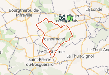


13 km | 16.1 km-effort

User


FREE GPS app for hiking
 SityTrail
IGN / Geographical institutes
SityTrail World
The world is yours!
Trail Walking of 11.5 km to be discovered at Normandy, Eure, Bosroumois. This trail is proposed by MichelRando7656.
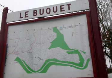
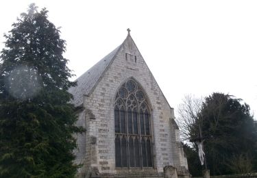
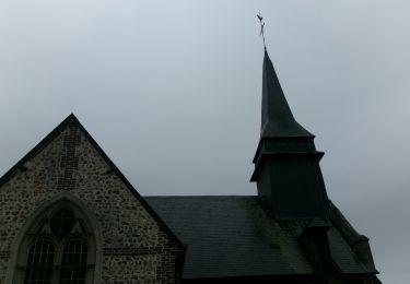
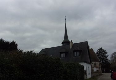
Randonnée des 3 clochers.
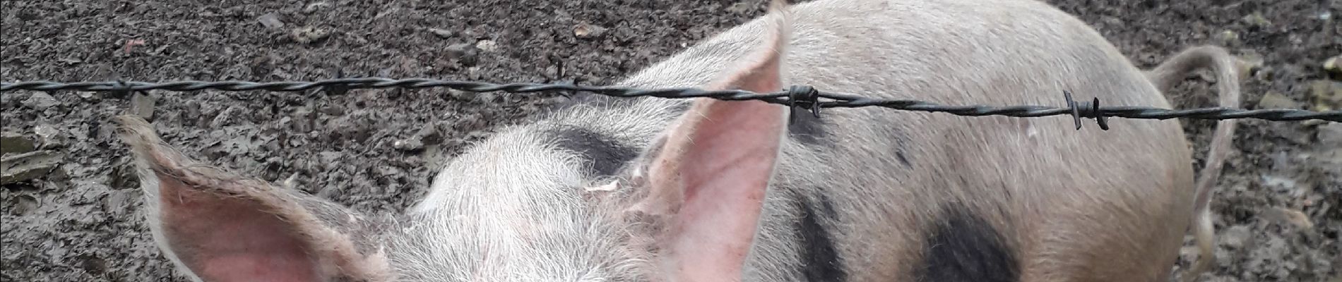
Petites routes de campagne tranquilles et chemins bien boueux actuellement.
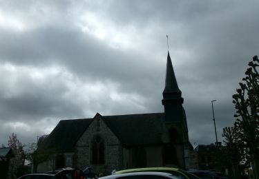
Belles chaumières.
Départ et retour sur le parking mairie/église.


Walking

Walking
Walking

Walking
Walking
Walking
Walking
Walking
Walking