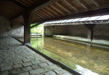
12.5 km | 14.6 km-effort
hermeray
galou29
User
Length
12.8 km
Max alt
177 m
Uphill gradient
156 m
Km-Effort
14.9 km
Min alt
125 m
Downhill gradient
161 m
Boucle
Yes
Creation date :
2020-01-15 08:19:28.239
Updated on :
2020-01-15 10:58:23.473
2h38
Difficulty : Very easy
FREE GPS app for hiking
About
Trail Walking of 12.8 km to be discovered at Ile-de-France, Yvelines, Hermeray. This trail is proposed by galou29.
Positioning
Country:
France
Region :
Ile-de-France
Department/Province :
Yvelines
Municipality :
Hermeray
Location:
Unknown
Start:(Dec)
Start:(UTM)
402410 ; 5387898 (31U) N.
Comments
Trails nearby
Sortie du 25/06/2015
Walking
Medium
(1)
Poigny-la-Forêt,
Ile-de-France,
Yvelines,
France
3h 13min
Yes
Droue sur Drouette st hillarion
Walking
Very easy
(1)
Droue-sur-Drouette,
Centre-Loire Valley,
Eure-et-Loir,
France
11.6 km | 13.8 km-effort
3h 0min
Yes
_L'effet papillon
Walking
Medium
Raizeux,
Ile-de-France,
Yvelines,
France
6.4 km | 7.5 km-effort
1h 30min
Yes
Rochers d'Angennes Yvelines
Walking
Medium
Poigny-la-Forêt,
Ile-de-France,
Yvelines,
France
6.3 km | 7.6 km-effort
1h 58min
Yes
Sortie botanique Hermeray
Walking
Easy
Hermeray,
Ile-de-France,
Yvelines,
France
3.3 km | 3.6 km-effort
2h 47min
Yes
D'Epernon à Saint-Martin-de-Nigelles
Walking
Difficult
Épernon,
Centre-Loire Valley,
Eure-et-Loir,
France
16.3 km | 18.2 km-effort
4h 4min
Yes
Hanches
Walking
Easy
Hanches,
Centre-Loire Valley,
Eure-et-Loir,
France
11.8 km | 13.2 km-effort
2h 57min
Yes
poigny la foret
Walking
Very easy
Poigny-la-Forêt,
Ile-de-France,
Yvelines,
France
5.5 km | 6.3 km-effort
1h 53min
No
rochers d'angennes mai 2019
Walking
Easy
(1)
Poigny-la-Forêt,
Ile-de-France,
Yvelines,
France
12.4 km | 14.7 km-effort
2h 30min
Yes