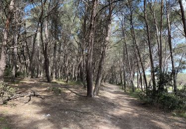
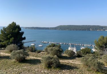
Trail Walking Istres - gr2013 istres miramas - Photo
© OpenStreetMap contributors
Length
Length
11.9 km
Max alt
Max alt
107 m
Uphill gradient
Uphill gradient
234 m
Km-Effort
Km-Effort  
14.9 km
Min alt
Min alt
3 m
Downhill gradient
Downhill gradient
196 m
Boucle
Boucle
No
Creation date :
2014-12-10 00:00:00.0
Updated on :
2014-12-10 00:00:00.0

(0 Reviews)

Walking
Walking
3h13
Difficulty : Easy

Scan this QR Code to open this trail in the SityTrail application

FREE GPS app for hiking

Logo SityTrail SityTrail

IGN / Geographical institutes

Download SityTrail from the App Store Download SityTrail from Google Play

Logo SityTrail SityTrail World

The world is yours!

Download SityTrail from the App Store Download SityTrail from Google Play Download SityTrail on Huawei AppGallery

About

Trail Walking of 11.9 km to be discovered at Provence-Alpes-Côte d'Azur, Bouches-du-Rhône, Istres. This trail is proposed by coureurdegarrigue.

Description

decevante

Elevation profile

Points of interest

Point of interest Istres - Point 1 - Photo
coureurdegarrigue
ISTRES 

Positioning

Country:
France
Region :
Provence-Alpes-Côte d'Azur
Department/Province :
Bouches-du-Rhône
Municipality :
Istres
Location:
Unknown
Start:(UTM)
661511 ; 4819730 (31T) N.

Trails nearby

Trail Walking Istres - Entre ville et nature - Istres - Photo
Walking
tracegps

Walking

Difficult
(2)
Istres, Provence-Alpes-Côte d'Azur, Bouches-du-Rhône, France
12.3 km | 14.7 km-effort
4h 0min
Yes
Trail On foot Saint-Mitre-les-Remparts - Entre mer et étangs - Photo
On foot
GUIDE+

On foot

Very difficult
Saint-Mitre-les-Remparts, Provence-Alpes-Côte d'Azur, Bouches-du-Rhône, France
39 km | 46 km-effort
10h 22min
Yes
Trail On foot Istres - Entre ville et nature (Istres) - Photo
On foot
GUIDE+

On foot

Easy
Istres, Provence-Alpes-Côte d'Azur, Bouches-du-Rhône, France
13.3 km | 15.7 km-effort
3h 34min
Yes
Trail Walking Istres - Miramas Istres GR 2013 ALLER - Photo
Walking
hervef13300

Walking

Easy
(2)
Istres, Provence-Alpes-Côte d'Azur, Bouches-du-Rhône, France
7.6 km | 10 km-effort
2h 6min
No
Trail Walking Saint-Chamas - St Chamas la Touloubre - Photo
Walking
nana1643

Walking

Easy
Saint-Chamas, Provence-Alpes-Côte d'Azur, Bouches-du-Rhône, France
9.3 km | 11.5 km-effort
4h 10min
Yes
Trail Walking Istres - Martigues entre les étangs de Citis et Lavalduc - Photo
Walking
jll7513

Walking

Medium
Istres, Provence-Alpes-Côte d'Azur, Bouches-du-Rhône, France
6.9 km | 8.3 km-effort
1h 53min
Yes
Trail Walking Saint-Chamas - St chamas - Photo
Walking
gaggiroland

Walking

Very easy
Saint-Chamas, Provence-Alpes-Côte d'Azur, Bouches-du-Rhône, France
12 km | 14.3 km-effort
3h 23min
No
Trail On foot Saint-Chamas - La petite Camargue - Photo
On foot
GUIDE+

On foot

Easy
Saint-Chamas, Provence-Alpes-Côte d'Azur, Bouches-du-Rhône, France
3.7 km | 3.9 km-effort
53min
Yes
Trail Walking Berre-l'Étang - St Chamas variante patrimoine - Photo
Walking
Manoune

Walking

Medium
Berre-l'Étang, Provence-Alpes-Côte d'Azur, Bouches-du-Rhône, France
14.9 km | 17.7 km-effort
5h 33min
Yes


Close
My subscriptions