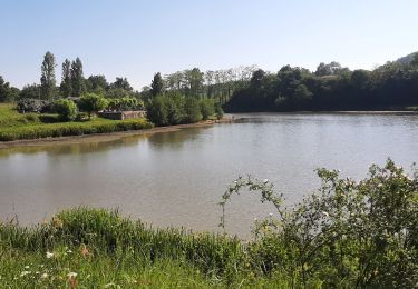
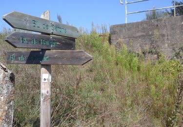
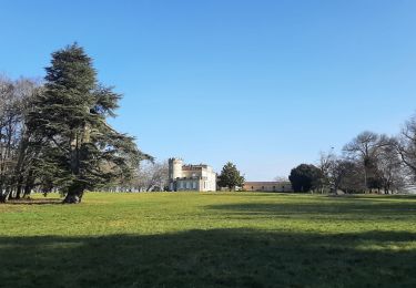
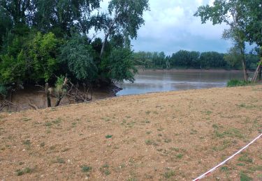
13.1 km | 16.1 km-effort
podensac
bedous
User
Length
17.9 km
Max alt
26 m
Uphill gradient
111 m
Km-Effort
19.4 km
Min alt
1 m
Downhill gradient
108 m
Boucle
Yes
Creation date :
2020-01-12 08:27:59.348
Updated on :
2020-01-12 16:30:30.125
4h59
Difficulty : Very easy
FREE GPS app for hiking
About
Trail Walking of 17.9 km to be discovered at New Aquitaine, Gironde, Podensac. This trail is proposed by bedous.
Description
Promenade sans difficulté à effectuer en été ou période de sécheresse et forte chaleur.
Positioning
Country:
France
Region :
New Aquitaine
Department/Province :
Gironde
Municipality :
Podensac
Location:
Unknown
Start:(Dec)
Start:(UTM)
709954 ; 4947672 (30T) N.
Comments
Trails nearby
Loupiac. Les coteaux.
Walking
Difficult
Loupiac,
New Aquitaine,
Gironde,
France
14 km | 17.7 km-effort
4h 1min
Yes
Boucle locale de Cérons
On foot
Easy
Cérons,
New Aquitaine,
Gironde,
France
9 km | 9.8 km-effort
2h 14min
Yes
Monprimblanc et Loupiac : boucle locale
On foot
Easy
Loupiac,
New Aquitaine,
Gironde,
France
10.5 km | 13.1 km-effort
2h 59min
No
aze
Walking
Easy
Lestiac-sur-Garonne,
New Aquitaine,
Gironde,
France
4.5 km | 4.8 km-effort
2h 34min
No
40 km de Pondensac
Walking
Difficult
Podensac,
New Aquitaine,
Gironde,
France
41 km | 52 km-effort
7h 36min
Yes
lestiac
Walking
Very easy
Lestiac-sur-Garonne,
New Aquitaine,
Gironde,
France
9.4 km | 11.3 km-effort
3h 2min
Yes
TET n°23 - Départ de Podensac a Gueret
Motorbike
Medium
Cadillac,
New Aquitaine,
Gironde,
France
480 km | 587 km-effort
Unknown
No