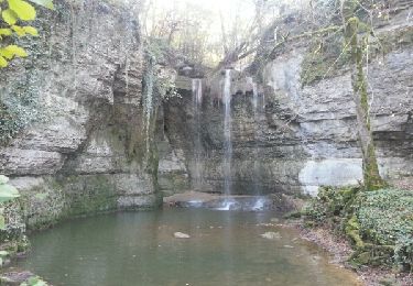
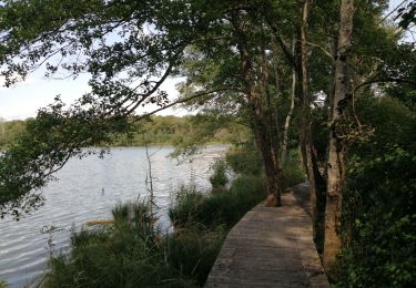
Trail Quad Courtenay - moctune m1  - Photo
© OpenStreetMap contributors
Length
Length
73 km
Max alt
Max alt
362 m
Uphill gradient
Uphill gradient
1051 m
Km-Effort
Km-Effort  
87 km
Min alt
Min alt
207 m
Downhill gradient
Downhill gradient
1092 m
Boucle
Boucle
No
Creation date :
2020-01-10 19:52:33.046
Updated on :
2020-01-11 01:05:31.552

(0 Reviews)

Quad
Quad
4h48
Difficulty : Very easy

Scan this QR Code to open this trail in the SityTrail application

FREE GPS app for hiking

Logo SityTrail SityTrail

IGN / Geographical institutes

Download SityTrail from the App Store Download SityTrail from Google Play

Logo SityTrail SityTrail World

The world is yours!

Download SityTrail from the App Store Download SityTrail from Google Play Download SityTrail on Huawei AppGallery

About

Trail Quad of 73 km to be discovered at Auvergne-Rhône-Alpes, Isère, Courtenay. This trail is proposed by Fabrice Vernay.

Elevation profile

Positioning

Country:
France
Region :
Auvergne-Rhône-Alpes
Department/Province :
Isère
Municipality :
Courtenay
Location:
Unknown
Start:(UTM)
687199 ; 5067233 (31T) N.

Trails nearby

Trail Walking Optevoz - rando cascade de la roche - Photo
Walking
tyax93

Walking

Easy
Optevoz, Auvergne-Rhône-Alpes, Isère, France
16.2 km | 19.2 km-effort
4h 36min
Yes
Trail Walking Arandon-Passins - étang de la Save - Photo
Walking
yvos38

Walking

Easy
Arandon-Passins, Auvergne-Rhône-Alpes, Isère, France
4.5 km | 5.1 km-effort
1h 46min
Yes
Trail Cycle Creys-Mépieu - Porte  ambleon  - Photo
Cycle
ALAIN3859

Cycle

Medium
Creys-Mépieu, Auvergne-Rhône-Alpes, Isère, France
64 km | 82 km-effort
3h 54min
Yes
Trail Cycle Creys-Mépieu - Porte  ambleon  - Photo
Cycle
ALAIN3859

Cycle

Medium
Creys-Mépieu, Auvergne-Rhône-Alpes, Isère, France
64 km | 82 km-effort
3h 54min
Yes
Trail Walking Saint-Baudille-de-la-Tour - cascade de chapieu - Photo
Walking
24nus

Walking

Easy
Saint-Baudille-de-la-Tour, Auvergne-Rhône-Alpes, Isère, France
12.3 km | 15.1 km-effort
3h 20min
Yes
Trail Trail Arandon-Passins - trail morestel 14km - Photo
Trail
24nus

Trail

Very easy
Arandon-Passins, Auvergne-Rhône-Alpes, Isère, France
14 km | 16.2 km-effort
1h 37min
Yes
Trail Walking Arandon-Passins - Autour de Morestel - Photo
Walking
thethys

Walking

Very easy
Arandon-Passins, Auvergne-Rhône-Alpes, Isère, France
6.6 km | 7.4 km-effort
1h 42min
Yes
Trail Running Soleymieu - trail motestzl  - Photo
Running
benoitdu01

Running

Easy
Soleymieu, Auvergne-Rhône-Alpes, Isère, France
20 km | 24 km-effort
2h 31min
No
Trail Horseback riding Soleymieu - 202309 Soleymieu boucle  - Photo
Horseback riding
xhakon

Horseback riding

Medium
Soleymieu, Auvergne-Rhône-Alpes, Isère, France
22 km | 26 km-effort
4h 26min
Yes


Close
My subscriptions