


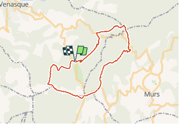

8.6 km | 11.9 km-effort

User


FREE GPS app for hiking
 SityTrail
IGN / Geographical institutes
SityTrail World
The world is yours!
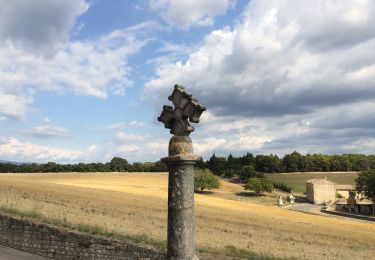
Trail Walking of 16.8 km to be discovered at Provence-Alpes-Côte d'Azur, Vaucluse, Venasque. This trail is proposed by FLORENSAC.
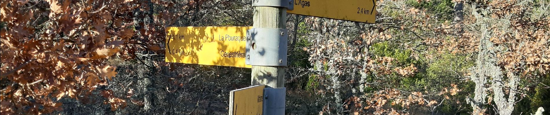
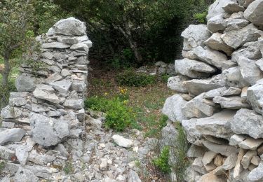
une rando tranquille sans difficultés nous avons mangé au jas du griffon
une a deux fois par an on apporte les grillades que l'on fait cuire dans la
cheminée a l'intérierur de la bergerie
en hiver quelques endroits bien humides que l'on peut contourner

Walking

Walking

Walking

Mountain bike

Mountain bike

On foot
Walking
Walking
Walking