


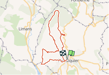

13.2 km | 17.4 km-effort

User GUIDE


FREE GPS app for hiking
 SityTrail
IGN / Geographical institutes
SityTrail World
The world is yours!
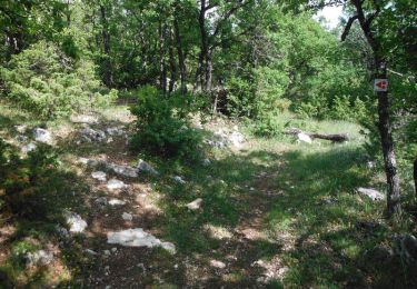
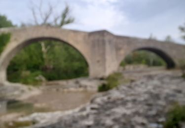
Trail Walking of 18 km to be discovered at Provence-Alpes-Côte d'Azur, Alpes-de-Haute-Provence, Forcalquier. This trail is proposed by toutankhcarton.
Randonnée facile au départ du centre médical à Forcalquier.


Walking
Cycle

Walking

Walking
Mountain bike
Walking
Walking

Cycle
Walking
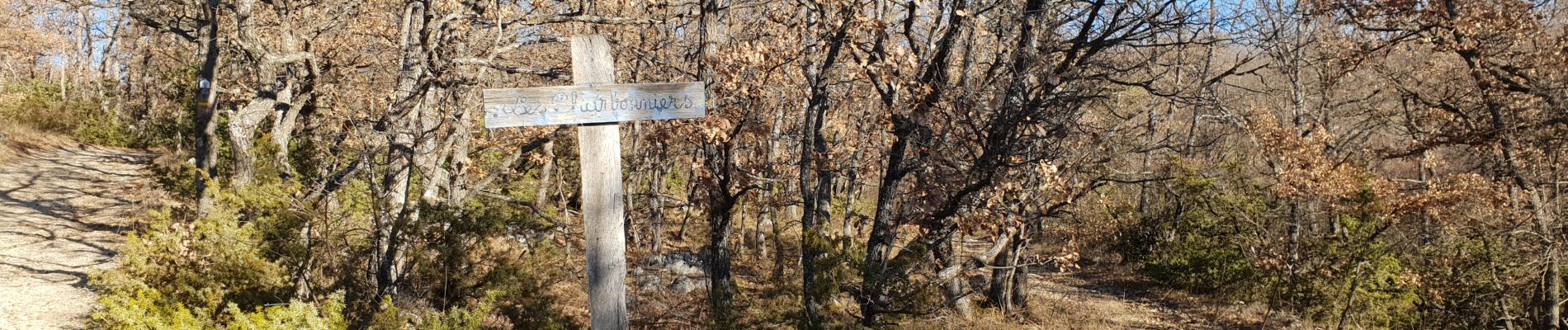
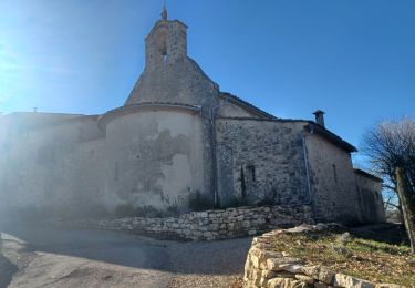
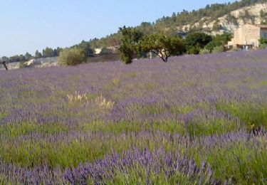
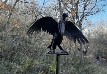
Merci pour votre randonnée et vos belles photos !