


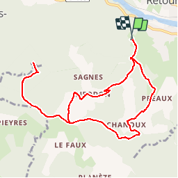

4.5 km | 7 km-effort


User


FREE GPS app for hiking
 SityTrail
IGN / Geographical institutes
SityTrail World
The world is yours!
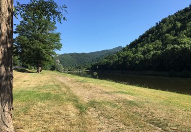
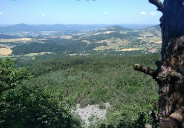
Trail Walking of 11.2 km to be discovered at Auvergne-Rhône-Alpes, Haute-Loire, Retournac. This trail is proposed by mmeu1.
démarrer du centre de loisirs
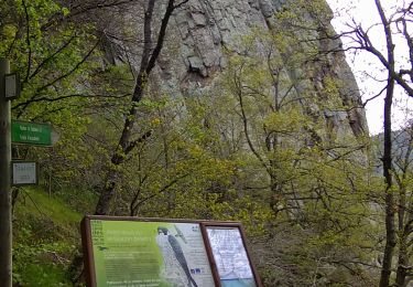
prendre un ancien balisage. Au début le chemin pentu est très dégradé et après Chanou le sentier est caillouteux et glissant.
Walking

Walking
Walking
Mountain bike

Walking

Walking
Walking
Walking


sport