


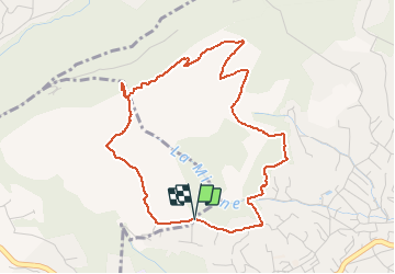

18.7 km | 33 km-effort

User


FREE GPS app for hiking
 SityTrail
IGN / Geographical institutes
SityTrail World
The world is yours!
Trail Walking of 5 km to be discovered at Provence-Alpes-Côte d'Azur, Maritime Alps, Le Rouret. This trail is proposed by papajp.
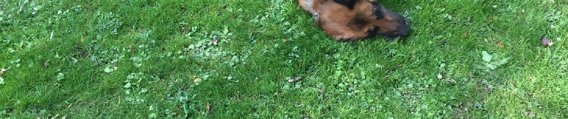
Pas très long mais beaucoup d arbres tombés à cause du vent et en plus les chiens les patous nous on obligé de faire un détour pas facile

Walking

Walking

Walking

On foot

On foot

On foot

On foot

On foot

On foot