


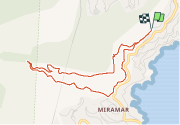

10.4 km | 17.5 km-effort


User


FREE GPS app for hiking
 SityTrail
IGN / Geographical institutes
SityTrail World
The world is yours!
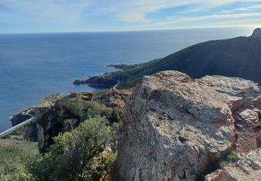
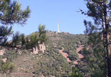
Trail On foot of 5.5 km to be discovered at Provence-Alpes-Côte d'Azur, Maritime Alps, Théoule-sur-Mer. This trail is proposed by cb8310.
rando sans difficultés particulières jusqu'au col de Théoule, si ce n'est au 2/3 du parcours la montée des marches un peu hard


Walking

Walking

Walking

Walking

Walking

Walking
Walking
Walking

On foot