


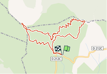

10.5 km | 21 km-effort

User GUIDE


FREE GPS app for hiking
 SityTrail
IGN / Geographical institutes
SityTrail World
The world is yours!
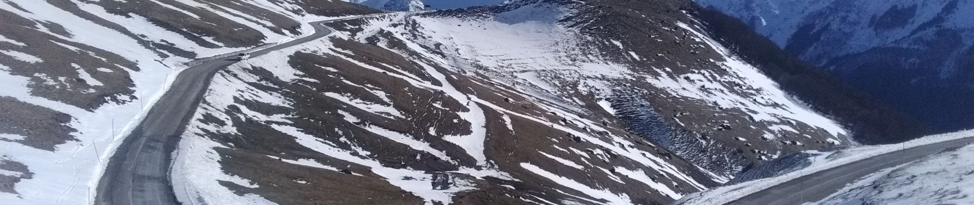
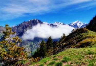
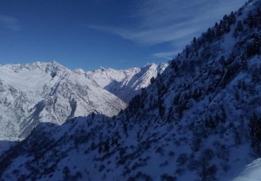
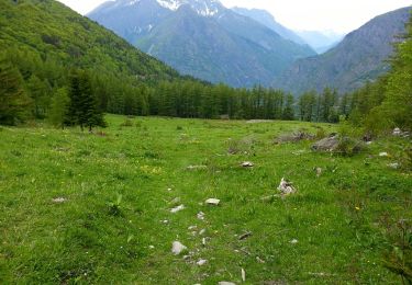
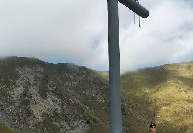
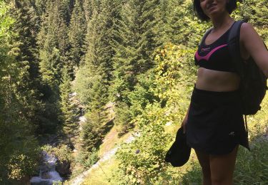
Trail Touring skiing of 6.3 km to be discovered at Auvergne-Rhône-Alpes, Isère, La Salette-Fallavaux. This trail is proposed by nadd73.
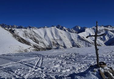
épingle 1630m de la route du Sanctuaire de notre dame de la Salette.
monter la face Est de Côte belle.
Descente idem mais s'arrêter juste sous le col d'hurtiere. Repeautage et monter la face Sud descente idem.


Walking
Walking

Walking
Touring skiing
Walking
Walking
Walking
Walking
Walking