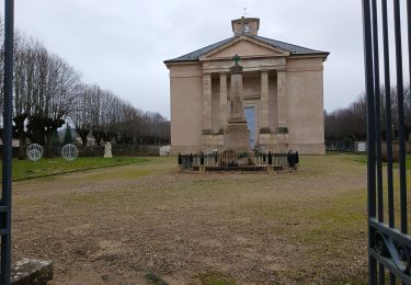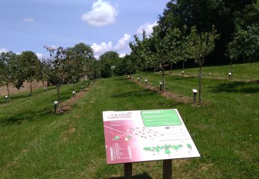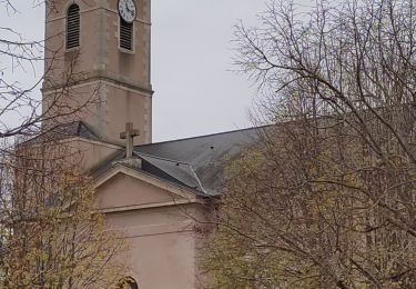

Laives - lacs et ville

PapyChalon
User

Length
12.6 km

Max alt
232 m

Uphill gradient
108 m

Km-Effort
14 km

Min alt
175 m

Downhill gradient
108 m
Boucle
Yes
Creation date :
2014-12-10 00:00:00.0
Updated on :
2014-12-10 00:00:00.0
--
Difficulty : Easy

FREE GPS app for hiking
About
Trail Walking of 12.6 km to be discovered at Bourgogne-Franche-Comté, Saône-et-Loire, Laives. This trail is proposed by PapyChalon.
Description
Rando Club MGEN Chalon
Une promenade à faire en famille. Une bonne partie se fait sur chemin goudronnée.
Attention : pendant l'été, l'accès près des lacs (base de loisirs) en voiture est payant.
Positioning
Country:
France
Region :
Bourgogne-Franche-Comté
Department/Province :
Saône-et-Loire
Municipality :
Laives
Location:
Unknown
Start:(Dec)
Start:(UTM)
639303 ; 5169855 (31T) N.
Comments
Trails nearby

Laives Montceau ragny page 106


Walking
Difficult
(6)
Laives,
Bourgogne-Franche-Comté,
Saône-et-Loire,
France

11.4 km | 15.3 km-effort
3h 28min
Yes

laives


Walking
Difficult
Laives,
Bourgogne-Franche-Comté,
Saône-et-Loire,
France

10.8 km | 12.3 km-effort
2h 15min
Yes

randonnée autour de Ruffey


Walking
Easy
(1)
Sennecey-le-Grand,
Bourgogne-Franche-Comté,
Saône-et-Loire,
France

12 km | 17.1 km-effort
3h 12min
Yes

Laives


Nordic walking
Very easy
Laives,
Bourgogne-Franche-Comté,
Saône-et-Loire,
France

11.4 km | 15.8 km-effort
2h 10min
Yes

Laives Vincelles St Michel Moyenne


Walking
Difficult
Laives,
Bourgogne-Franche-Comté,
Saône-et-Loire,
France

10.5 km | 12.6 km-effort
2h 52min
Yes

G . Sennecey le Grand - Le Chemin Ferré - La male campagne - Les Teppes - et ...


On foot
Easy
(1)
Sennecey-le-Grand,
Bourgogne-Franche-Comté,
Saône-et-Loire,
France

10.2 km | 11.1 km-effort
2h 30min
Yes

G . St Ambreuil - Carré aux loups - Les mouilles - Sommière de la GD Toile - ...


Walking
Medium
Saint-Ambreuil,
Bourgogne-Franche-Comté,
Saône-et-Loire,
France

10.8 km | 11.6 km-effort
2h 37min
Yes

G . Lalheue - Laives - Vincelles et retour par Le Vernoy .


Walking
Difficult
Lalheue,
Bourgogne-Franche-Comté,
Saône-et-Loire,
France

11.7 km | 12.5 km-effort
2h 50min
Yes

G . Lacs de Laives - Beaumont - Laives et retour .


Walking
Difficult
Laives,
Bourgogne-Franche-Comté,
Saône-et-Loire,
France

11.2 km | 12.3 km-effort
2h 47min
Yes


 SityTrail


