


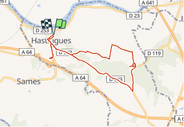

9.1 km | 11.3 km-effort


User


FREE GPS app for hiking
 SityTrail
IGN / Geographical institutes
SityTrail World
The world is yours!
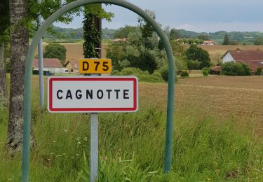
Trail On foot of 8.8 km to be discovered at New Aquitaine, Landes, Hastingues. This trail is proposed by almitpau.
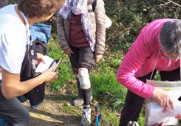
Randonnée agréable avec une forte valeur rajoutée culturelle.
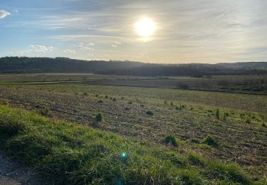
Evocation du Chemin de St Jacques
Abbaye d'Arthous
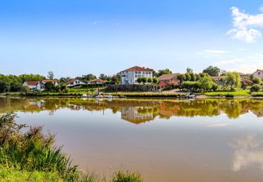
Village medieval de Hastingues et son histoire intimement lié à la guerre de 100 ans.
Walking

On foot
Walking

Equestrian
Walking

Bicycle tourism
Mountain bike

Walking
Walking