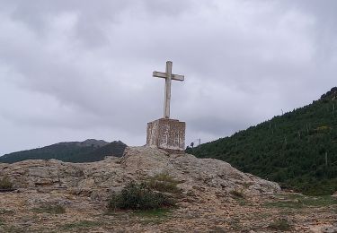
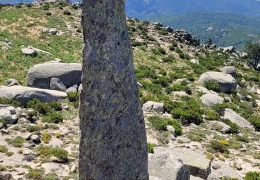
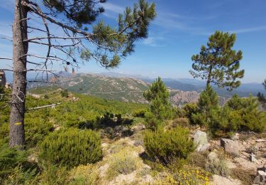
Trail Walking Moca-Croce - ARCHE de SAN BAVINZO - Photo

ARCHE de SAN BAVINZO

© OpenStreetMap contributors
Length
Length
8.6 km
Max alt
Max alt
1316 m
Uphill gradient
Uphill gradient
490 m
Km-Effort
Km-Effort  
15.1 km
Min alt
Min alt
992 m
Downhill gradient
Downhill gradient
488 m
Boucle
Boucle
Yes
Creation date :
2020-01-05 09:14:50.725
Updated on :
2020-01-08 00:39:23.894

(0 Reviews)

Walking
Walking
7h15
Difficulty : Easy

Scan this QR Code to open this trail in the SityTrail application

FREE GPS app for hiking

Logo SityTrail SityTrail

IGN / Geographical institutes

Download SityTrail from the App Store Download SityTrail from Google Play

Logo SityTrail SityTrail World

The world is yours!

Download SityTrail from the App Store Download SityTrail from Google Play Download SityTrail on Huawei AppGallery

About

Trail Walking of 8.6 km to be discovered at Corsica, South Corsica, Moca-Croce. This trail is proposed by cathymac20.

Description

départ col de st Eutache, possibilité d'aller jusqu au col de la Vacca (en tout  /- 20 kms aller retour).
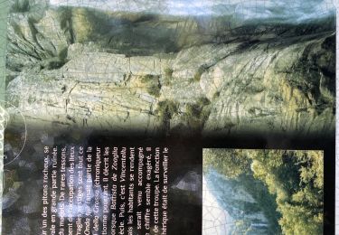
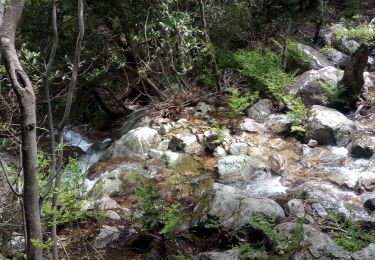
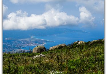
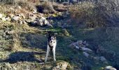
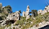
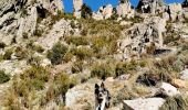
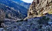
Le chemin de crêtes est bien marqué et balisé jaune et facile, pour aller à l arche c est plus compliqué... ce n est pas balisé et il faut descendre à vue depuis la tablette. L arche n est visible qu au dernier moment il faut descendre et suivre la direction des éboulis, être prudent les pierres sont très instables... les roches sont magnifiques...

Elevation profile

Photos

Positioning

Country:
France
Region :
Corsica
Department/Province :
South Corsica
Municipality :
Moca-Croce
Location:
Unknown
Start:(UTM)
501854 ; 4624696 (32T) N.

Trails nearby

Trail Walking Moca-Croce - Monte San Petru - Photo
Walking
GUIDE
nadinebondoux

Walking

Medium
(2)
Moca-Croce, Corsica, South Corsica, France
8.2 km | 13.5 km-effort
2h 49min
Yes
Trail Walking Moca-Croce - Corse-Monte San Petru 12.09.2015 - Photo
Walking
GUIDE
fredetpascale

Walking

Easy
(2)
Moca-Croce, Corsica, South Corsica, France
9.2 km | 15 km-effort
3h 6min
Yes
Trail Walking Moca-Croce - Piscia di l’onda  - Photo
Walking
GUIDE
antignacs

Walking

Very easy
Moca-Croce, Corsica, South Corsica, France
5.4 km | 8 km-effort
1h 47min
Yes
Trail Walking Moca-Croce - mont San petru - Photo
Walking
loca.yves

Walking

Medium
Moca-Croce, Corsica, South Corsica, France
8.9 km | 14 km-effort
4h 13min
Yes
Trail Walking Moca-Croce - Monte San Petru - Photo
Walking
Indi34

Walking

Easy
Moca-Croce, Corsica, South Corsica, France
8.2 km | 13.3 km-effort
3h 22min
No
Trail Walking Moca-Croce - piscia di l onda - Photo
Walking
Kraspouille

Walking

Difficult
Moca-Croce, Corsica, South Corsica, France
2.9 km | 4.7 km-effort
1h 14min
Yes
Trail Walking Moca-Croce - Monte San Petru (cat2a) - Photo
Walking
thierry2a

Walking

Medium
Moca-Croce, Corsica, South Corsica, France
7.3 km | 12.3 km-effort
2h 30min
Yes
Trail Walking Aullène - de mare a mare étape 4 - Photo
Walking
melsacri

Walking

Very difficult
Aullène, Corsica, South Corsica, France
15.3 km | 24 km-effort
6h 11min
No
Trail On foot Aullène - Mare a Mare Step 3 - Variante - Photo
On foot
GUIDE
romanceline

On foot

Medium
Aullène, Corsica, South Corsica, France
17.8 km | 27 km-effort
6h 4min
No


Close
My subscriptions