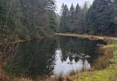
18.4 km | 23 km-effort
Sainte Barbe
edouard_bieber
User
Length
12.9 km
Max alt
408 m
Uphill gradient
227 m
Km-Effort
15.9 km
Min alt
298 m
Downhill gradient
230 m
Boucle
Yes
Creation date :
2020-01-04 20:36:27.161
Updated on :
2020-01-14 07:23:22.087
3h26
Difficulty : Easy
FREE GPS app for hiking
About
Trail Walking of 12.9 km to be discovered at Grand Est, Vosges, Sainte-Barbe. This trail is proposed by edouard_bieber.
Positioning
Country:
France
Region :
Grand Est
Department/Province :
Vosges
Municipality :
Sainte-Barbe
Location:
Unknown
Start:(Dec)
Start:(UTM)
331292 ; 5363223 (32U) N.
Comments
Trails nearby
sortie vtt du 24032019
Mountain bike
Medium
Baccarat,
Grand Est,
Meurthe-et-Moselle,
France
1h 24min
Yes
kaliste sortie équiplaine
Horseback riding
Difficult
Baccarat,
Grand Est,
Meurthe-et-Moselle,
France
31 km | 40 km-effort
120h 37min
Yes
equiplaine baccarat kaliste tracé attelages
Coupling
Very easy
Baccarat,
Grand Est,
Meurthe-et-Moselle,
France
18.2 km | 23 km-effort
3h 20min
Yes
VTT avec David et Joel au Col de la Chipotte 10/11/19
Mountain bike
Easy
Lachapelle,
Grand Est,
Meurthe-et-Moselle,
France
26 km | 33 km-effort
2h 55min
Yes
VTT autour de Saint-Benoit-la-Chipotte
Mountain bike
Medium
Saint-Benoît-la-Chipotte,
Grand Est,
Vosges,
France
22 km | 29 km-effort
2h 30min
Yes
Affaya boucle innutile 1
Horseback riding
Easy
Sainte-Barbe,
Grand Est,
Vosges,
France
5.5 km | 6.4 km-effort
21min
Yes
Corbė
Walking
Medium
Saint-Benoît-la-Chipotte,
Grand Est,
Vosges,
France
7 km | 8.1 km-effort
1h 49min
Yes
Rando chipotte Seb et Marion
Horseback riding
Medium
(1)
Saint-Benoît-la-Chipotte,
Grand Est,
Vosges,
France
15.2 km | 19.7 km-effort
3h 3min
Yes
DU RUISSEAU SAINT PIERRE AU HAUT DES ROCHES
Walking
Difficult
Lachapelle,
Grand Est,
Meurthe-et-Moselle,
France
10 km | 12.7 km-effort
2h 52min
Yes