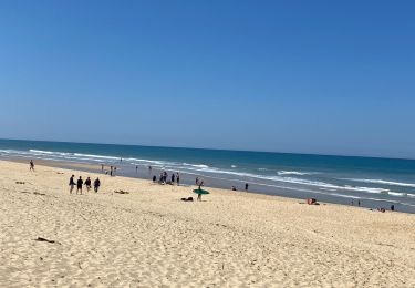
5.8 km | 6.7 km-effort
Arcachon4
gillesfleutot
User
Length
69 km
Max alt
39 m
Uphill gradient
507 m
Km-Effort
75 km
Min alt
3 m
Downhill gradient
507 m
Boucle
Yes
Creation date :
2020-01-02 09:36:34.58
Updated on :
2020-01-02 16:48:45.349
5h21
Difficulty : Easy
FREE GPS app for hiking
About
Trail Road bike of 69 km to be discovered at New Aquitaine, Gironde, Lège-Cap-Ferret. This trail is proposed by gillesfleutot.
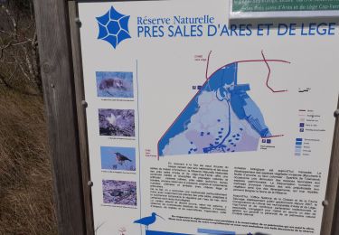
Positioning
Country:
France
Region :
New Aquitaine
Department/Province :
Gironde
Municipality :
Lège-Cap-Ferret
Location:
Unknown
Start:(Dec)
Start:(UTM)
640257 ; 4962551 (30T) N.
Comments
Trails nearby
réserve naturelle des prés salés d'Arès
Walking
Easy
Lège-Cap-Ferret,
New Aquitaine,
Gironde,
France
6.8 km | 7.2 km-effort
2h 34min
Yes
Crohot La Jenny
Walking
Easy
Lège-Cap-Ferret,
New Aquitaine,
Gironde,
France
12.7 km | 13.3 km-effort
3h 7min
Yes
LSG Océan Claouey mai 2020
Walking
Lège-Cap-Ferret,
New Aquitaine,
Gironde,
France
21 km | 24 km-effort
4h 20min
No
piste Arès à Le Porge
Hybrid bike
Medium
Lège-Cap-Ferret,
New Aquitaine,
Gironde,
France
40 km | 43 km-effort
2h 25min
Yes
Alentours - Crohot Noir & Dune d'Amour.
Walking
Medium
Lège-Cap-Ferret,
New Aquitaine,
Gironde,
France
22 km | 25 km-effort
5h 36min
Yes
Lège - Grand crohot
Walking
Easy
Lège-Cap-Ferret,
New Aquitaine,
Gironde,
France
19 km | 21 km-effort
4h 55min
Yes
grand crohot nord arbouses
Walking
Easy
Lège-Cap-Ferret,
New Aquitaine,
Gironde,
France
9.8 km | 10.6 km-effort
3h 6min
Yes
cap ferret 11
Other activity
Very easy
Lège-Cap-Ferret,
New Aquitaine,
Gironde,
France
10.5 km | 11.8 km-effort
Unknown
Yes