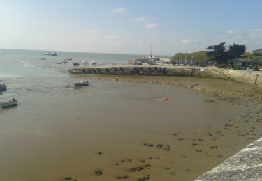
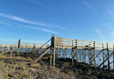
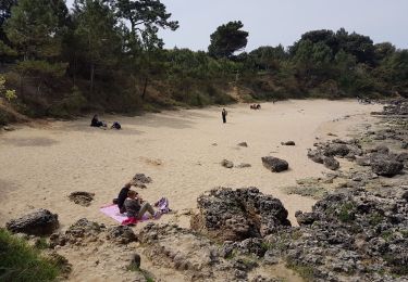
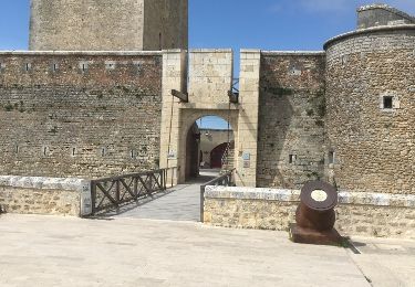
5 km | 5.3 km-effort
île d'Aix Paris
jlc12
User
Length
498 km
Boucle
No
Creation date :
2020-01-02 08:38:59.73
Updated on :
2020-01-02 14:54:17.15
5h52
Difficulty : Very easy
FREE GPS app for hiking
About
Trail Car of 498 km to be discovered at New Aquitaine, Charente-Maritime, Île-d'Aix. This trail is proposed by jlc12.
Positioning
Country:
France
Region :
New Aquitaine
Department/Province :
Charente-Maritime
Municipality :
Île-d'Aix
Location:
Unknown
Start:(Dec)
Start:(UTM)
642654 ; 5096329 (30T) N.
Comments
Trails nearby
Aix, croisière + rando vélo
Hybrid bike
Île-d'Aix,
New Aquitaine,
Charente-Maritime,
France
1h 15min
No
Tour de l'île d'Aix
Walking
Very easy
Île-d'Aix,
New Aquitaine,
Charente-Maritime,
France
7.7 km | 8.2 km-effort
1h 14min
Yes
FOURAS ST LAURENT
Walking
Easy
(1)
Fouras,
New Aquitaine,
Charente-Maritime,
France
12.9 km | 13.7 km-effort
3h 3min
Yes
tour de l'île complet
Walking
Medium
Île-d'Aix,
New Aquitaine,
Charente-Maritime,
France
9.2 km | 9.9 km-effort
4h 13min
No
fourras
Walking
Very easy
Fouras,
New Aquitaine,
Charente-Maritime,
France
10 km | 10.7 km-effort
4h 7min
Yes
Île d'Aix
Hybrid bike
Very easy
Île-d'Aix,
New Aquitaine,
Charente-Maritime,
France
8.7 km | 9.4 km-effort
1h 24min
Yes
Boucle port nord ,Chevalier,Espérance Sémaphore
Walking
Very easy
Fouras,
New Aquitaine,
Charente-Maritime,
France
14.7 km | 15.9 km-effort
1h 55min
Yes
tour de l'île d'Aix
Walking
Easy
Île-d'Aix,
New Aquitaine,
Charente-Maritime,
France
9.1 km | 9.9 km-effort
5h 33min
Yes