


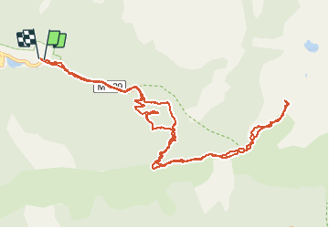

13.3 km | 20 km-effort

User GUIDE


FREE GPS app for hiking
 SityTrail
IGN / Geographical institutes
SityTrail World
The world is yours!
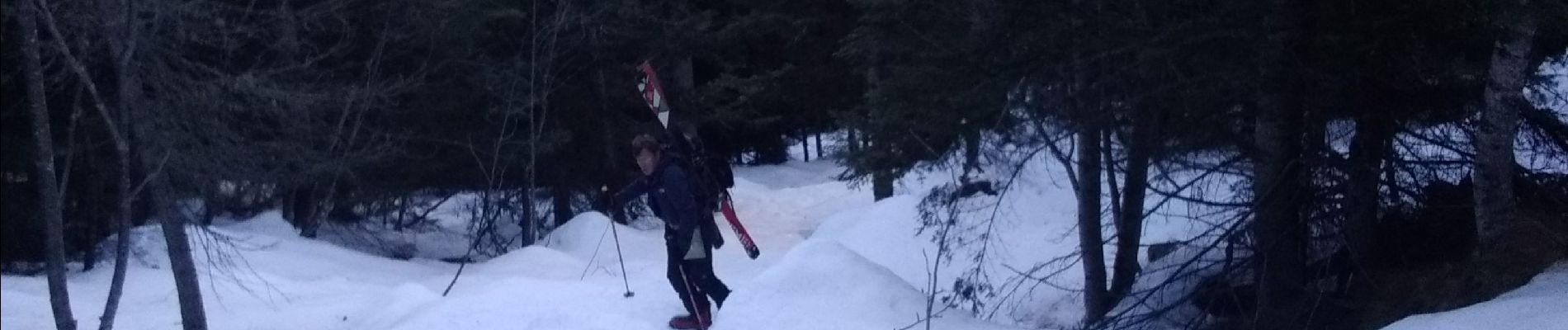
Trail Touring skiing of 14.1 km to be discovered at Provence-Alpes-Côte d'Azur, Maritime Alps, Saint-Martin-Vésubie. This trail is proposed by nadd73.
Du Boréon prendre le sentier pédestre de Maïris raide(crampons car gelé) du plateau plusieurs bosses à passer pour atteindre le sommet.
Descente un peu meilleure.


Walking

Walking

Walking

Walking

On foot

On foot

On foot

On foot

Walking