


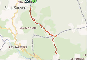

11.3 km | 17.6 km-effort

User


FREE GPS app for hiking
 SityTrail
IGN / Geographical institutes
SityTrail World
The world is yours!
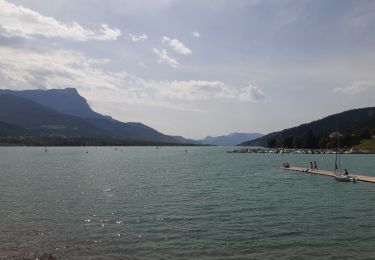
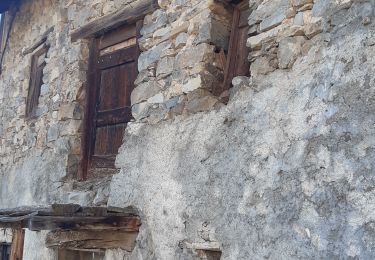
Trail Snowshoes of 8.5 km to be discovered at Provence-Alpes-Côte d'Azur, Hautes-Alpes, Saint-Sauveur. This trail is proposed by SyMA.
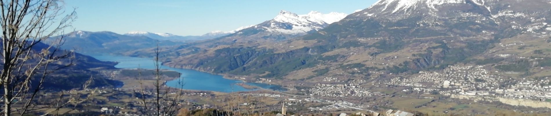
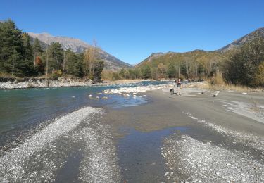
belle balade facile en raquettes entre haut du village de St Sauveur et vieux village des Orres
Beaux chemins /forêts
un point délicat en fond de vallée et rattrapper la route


Walking

Walking

Walking

Walking

Walking
Walking
Walking
Walking
Walking